Hello! Guy here at Walk Ride Bath (WRB). Hopefully you have had a chance to read WRB’s feedback on the Bath Walking, Wheeling & Cycling Links (BWWCL) proposals. If not, you can find them here!
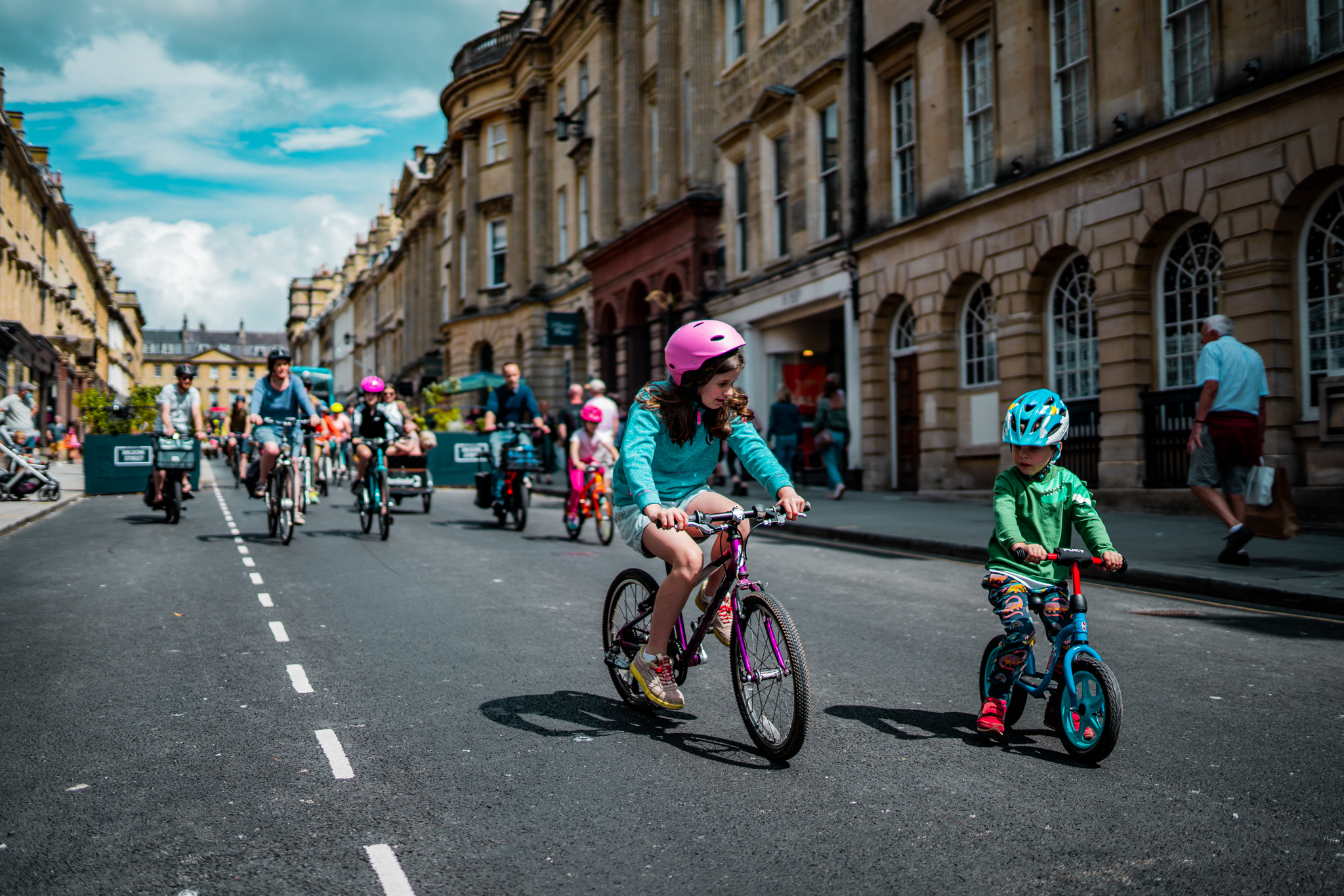
As with any project, there are decisions and compromises to be made. I thought it would be interesting to look at some of the context of the route and what is proposed, drawing heavily on pictures. Just a quick reminder of the routes….
- City centre to the Kennet & Avon canal via Sydney Place/Road (purple)
- Weston to Bath city centre (cyan)
- Fieldings Bridge to Oldfield School via Kelston Road (and RUH entrance on Evelyn Road) (green/yellow)

City centre to the Kennet & Avon canal via Sydney Place/Road
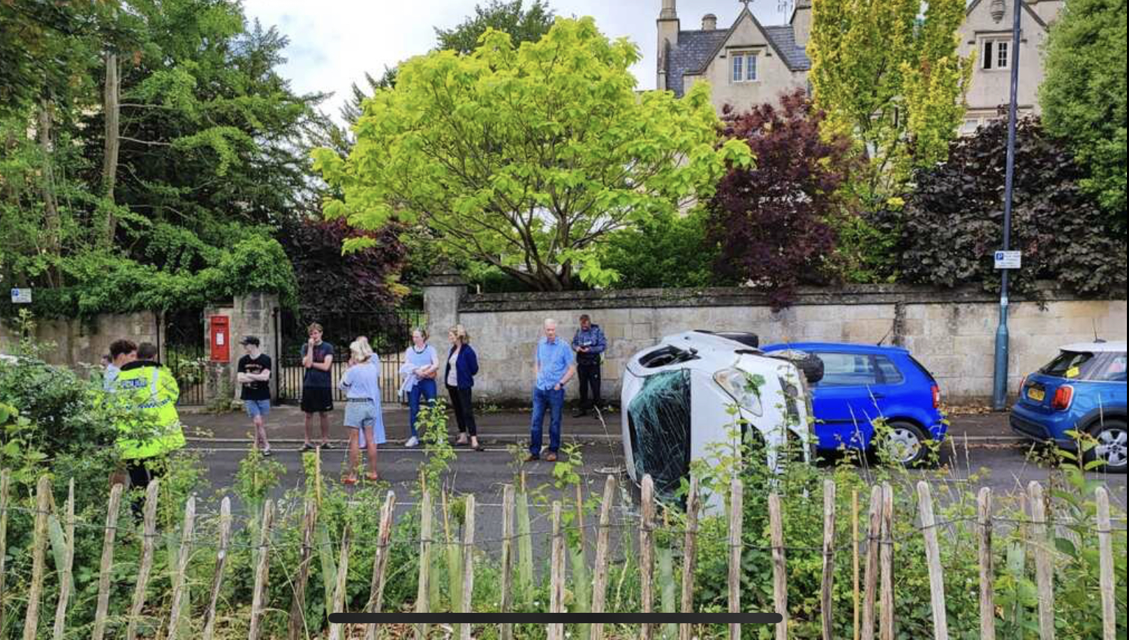
This section leverages the power of Liveable Neighbourhoods (LN) to transform streets into safer places for everyone, giving people genuine options. You might think “what is the big deal?” somewhere like Great Pulteney Street, and that it is pretty safe already. Well, it only takes one driver…
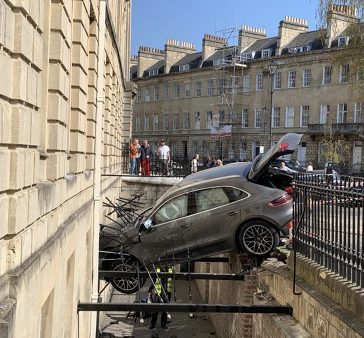
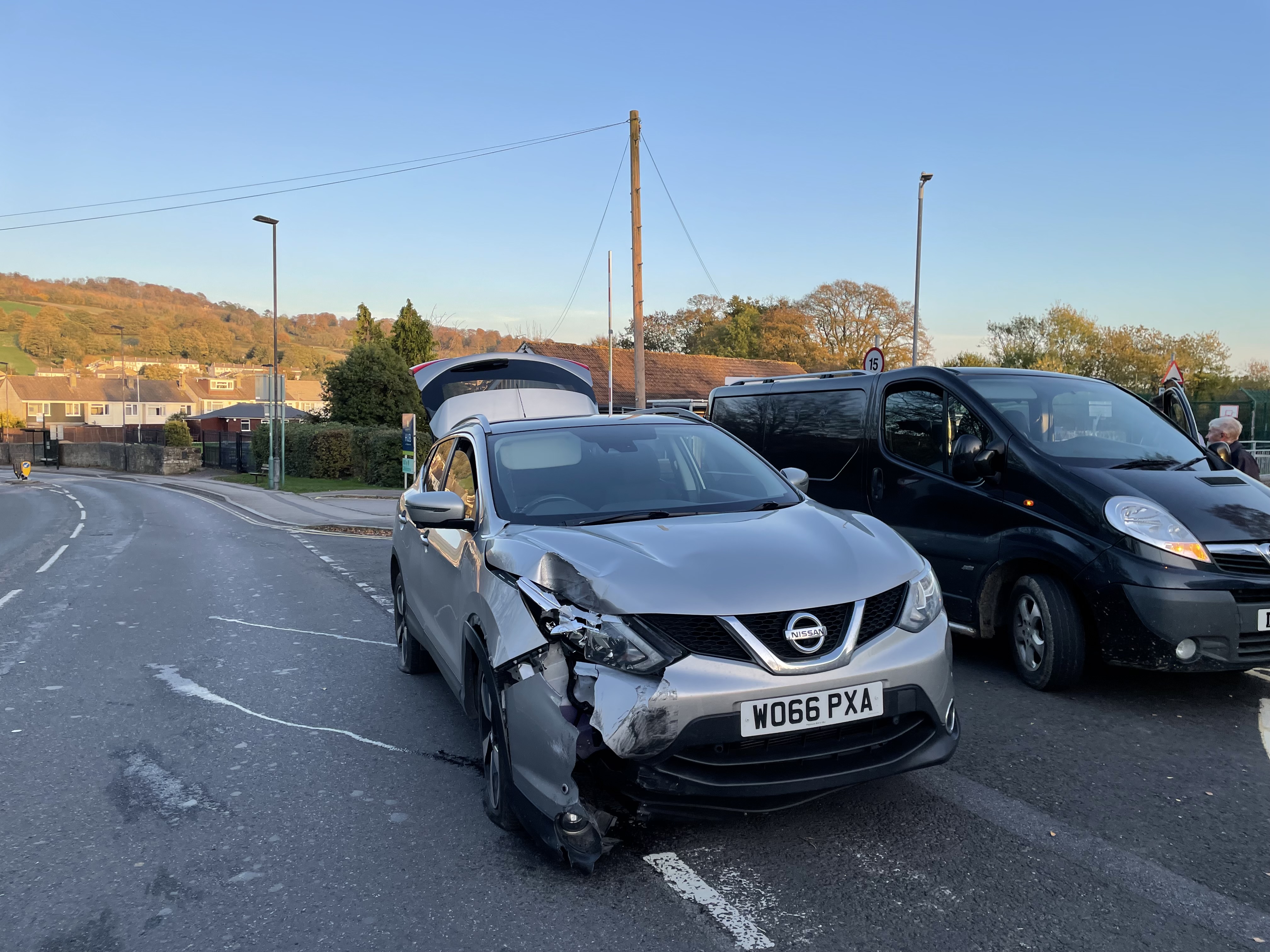
And put simply, every additional driver brings a huge uptick in danger to everyone walking, wheeling and cycling. Even if a driver is not being intentionally reckless or careless, the risk remains of a ‘medical episode’ as is alleged to have occurred on the Lower Bristol Road earlier this year…

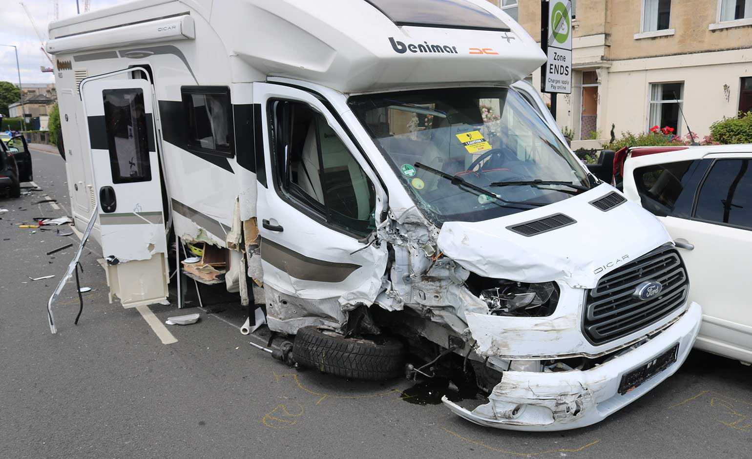
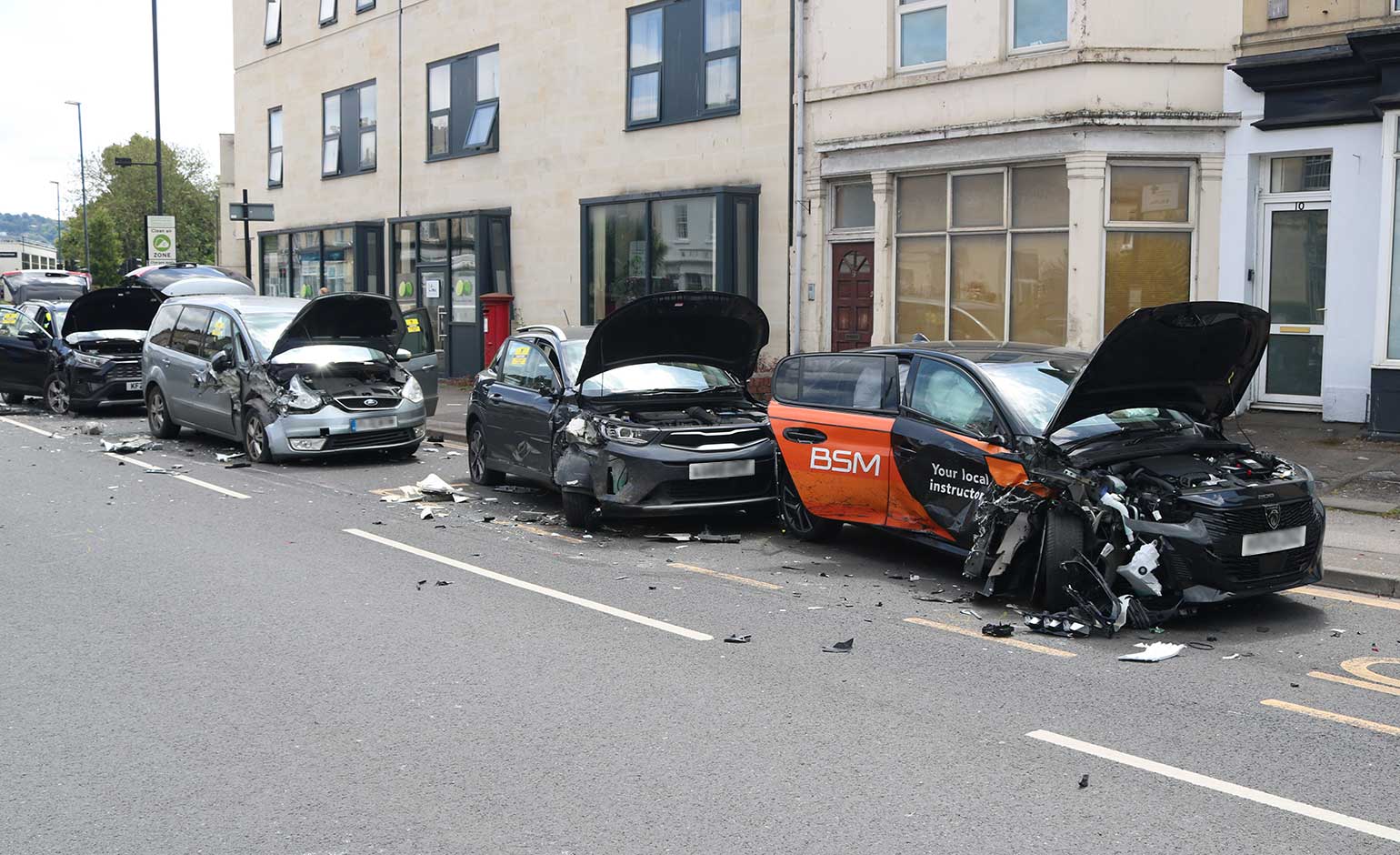
It was just luck the camper van driver didn’t steer into a person walking or cycling. So yes, delivering the Pulteney Estate LN will fundamentally change Great Pulteney Street. Perhaps we can even dream of removing some of car storage spaces and bringing back the vegetation to this currently rather sterile streetscape?

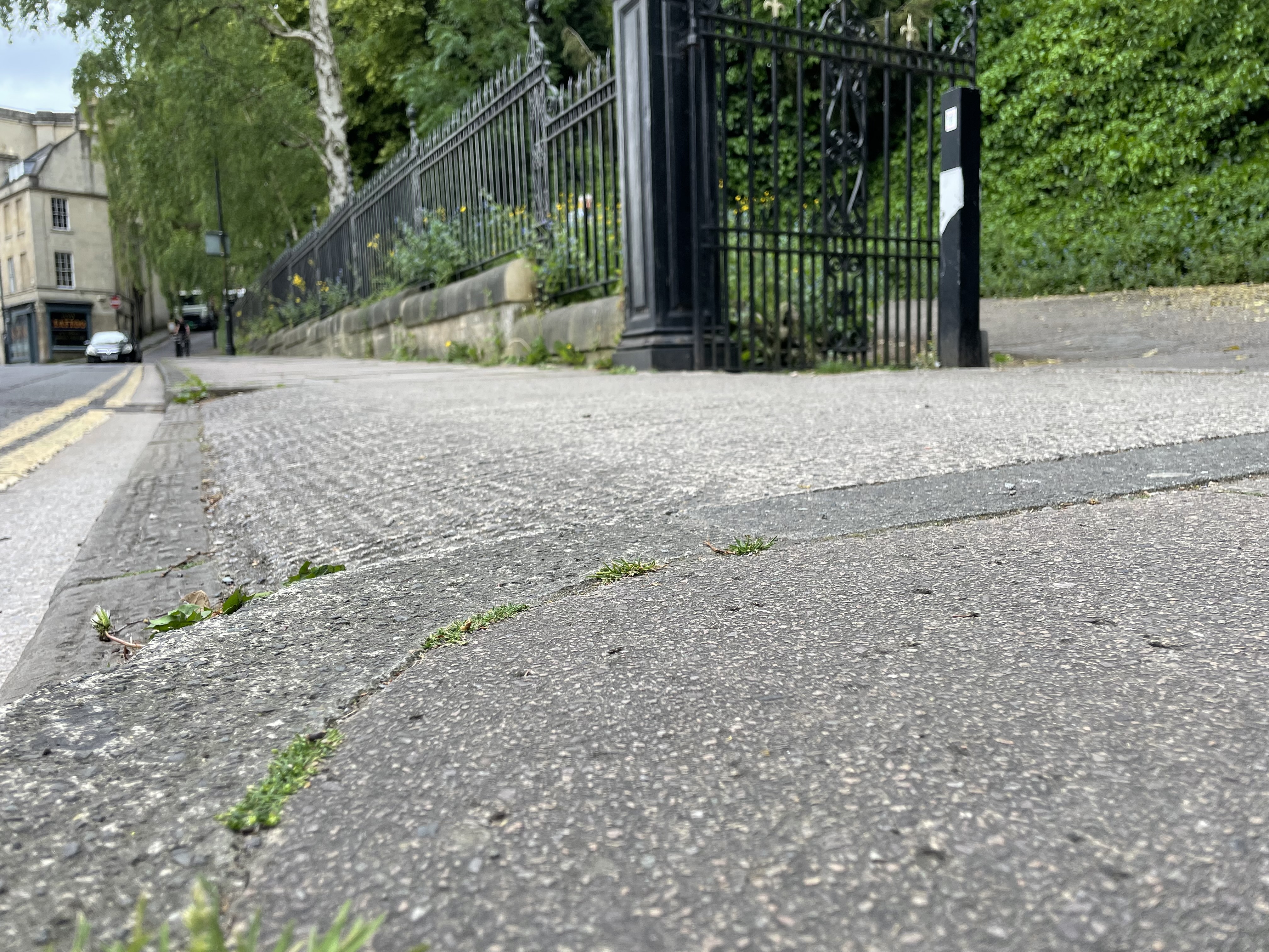
Connecting to the Pulteney Estate to Sydney Place / Road LN is one of the big wins in BWWCL, via an upgraded ‘Toucan’ crossing outside the Holburne Museum. This is already a clear desire line for people cycling, so it more about formalising the arrangement. What is great though, is this shows how LNs and crossings can rapidly build a network. This is something I talked about in a previous blog, but in essence we can get Bath to 80% great for walking, wheeling and cycling with a handful of bollards and better crossings between LN areas by 2030ish. This is a huge return for very low investment, with our young people being some of the biggest beneficiaries. People want the council to deliver value for money, right?
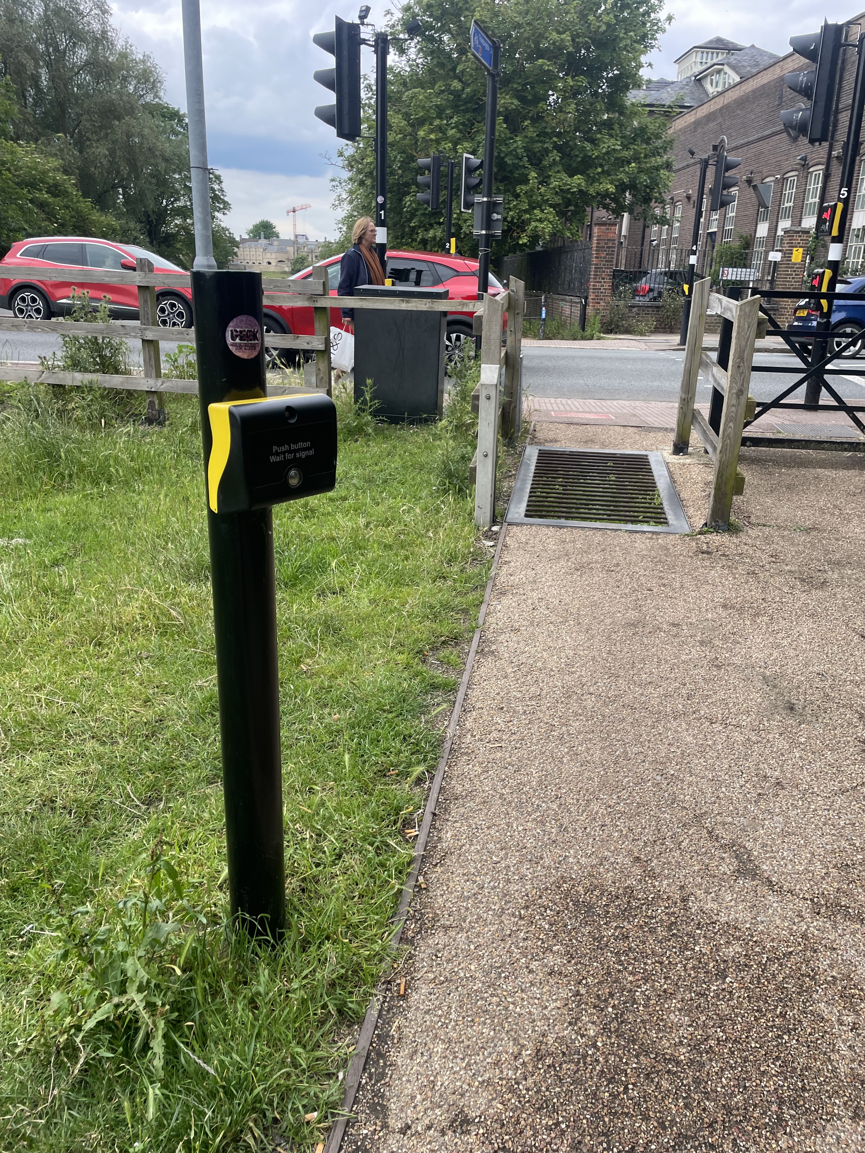
One quick detail to note on Toucan Crossings (btw- ‘Two-can’ as in pedestrians AND cyclists is a terrible, terrible pun… worthy of a Christmas cracker). Please design team, remember people on certain devices such as ‘box bikes’ and larger mobility scooters really struggle when the ‘beg button’ (you know, the one you press to ‘beg’ to be allowed to cross a road in your own city) is mounted on the signal post itself. Here is the design visualisation (left), and a strategically located ‘beg button’ in Cambridge, set well back from the kerb (right).

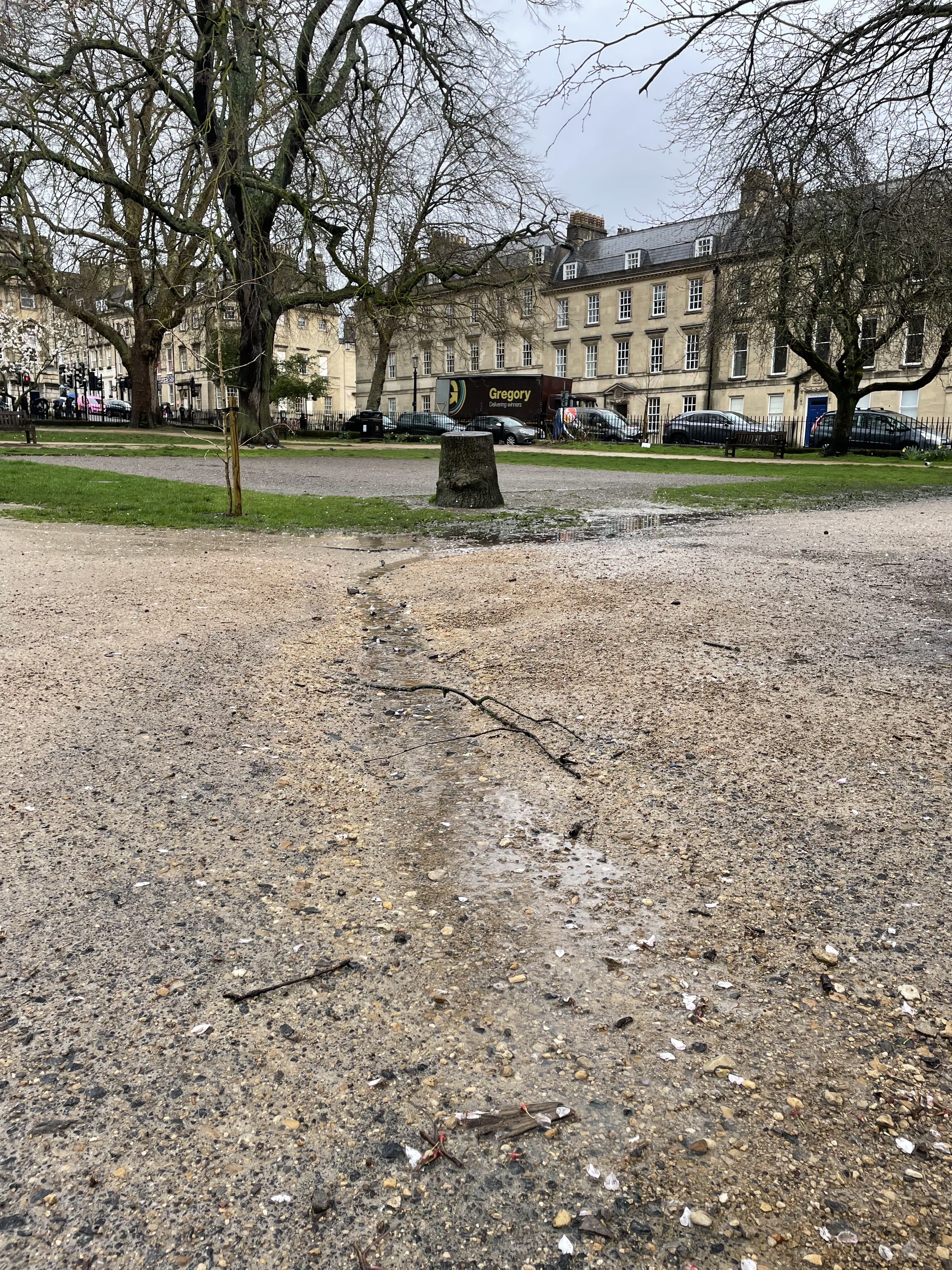
The BWWCL route here goes all the way around the park…. it is understandable why this has happened (partly to do with statutory rights to build on Highways but not in parks) but it does mean ignoring the fact people will tend to take the route of least resistance, and in the case of Sydney Place to the canal path, that is through Sydney Gardens.

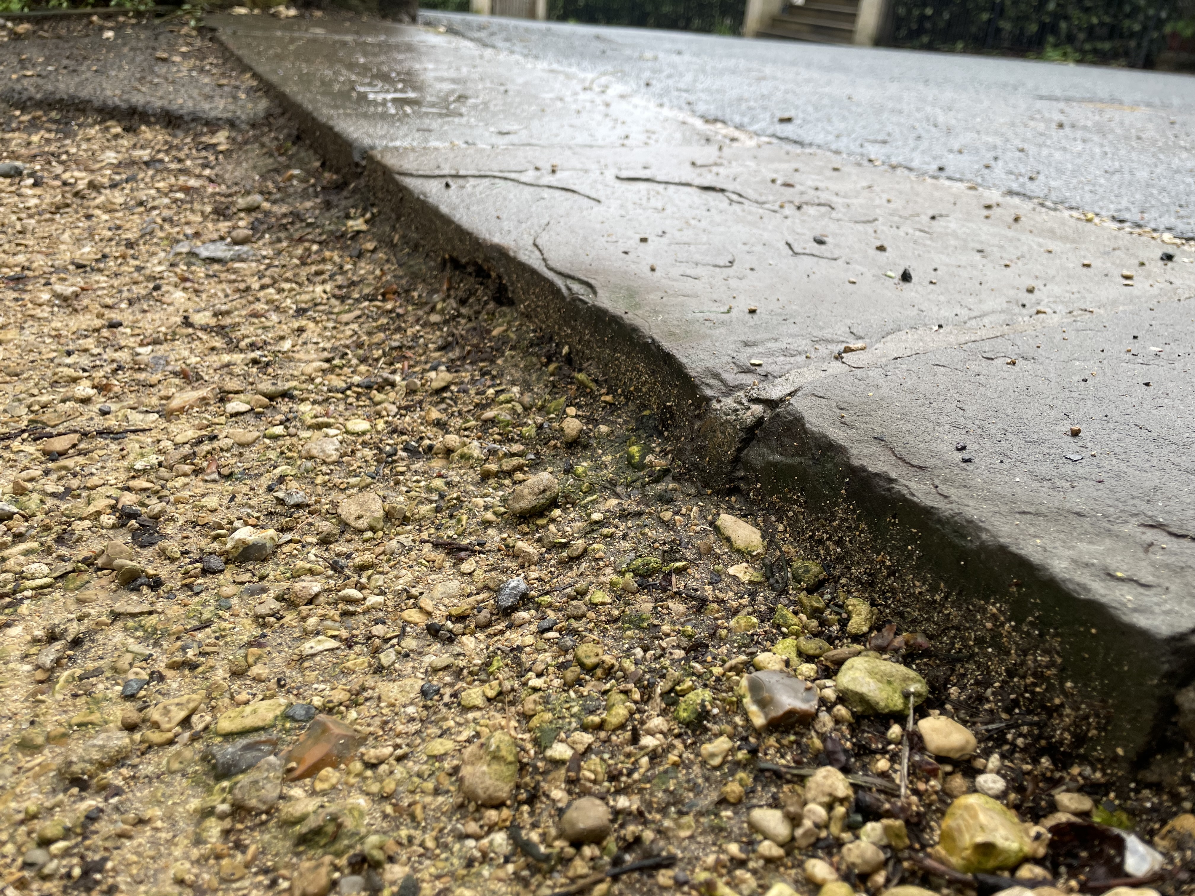
Historically both the council’s Parks team and park Friends Groups have been very hostile to cycling in publicly spaces. This has manifested most visibly by the installation of access barriers and low quality paving surfaces such as oxymoronically named ‘self binding gravel’ which falls apart after one winter of English weather. What people are not necessarily grasping is being ‘anti-cycles’ tends to mean being:
- Anti-pushchair
- Anti-wheelchair
- Anti-balance bike
- Anti-mobility scooter
- Anti-wheeled walking frame
- Anti-cycles being used as mobility aids
Surely that is not the inclusive public space we are looking for?
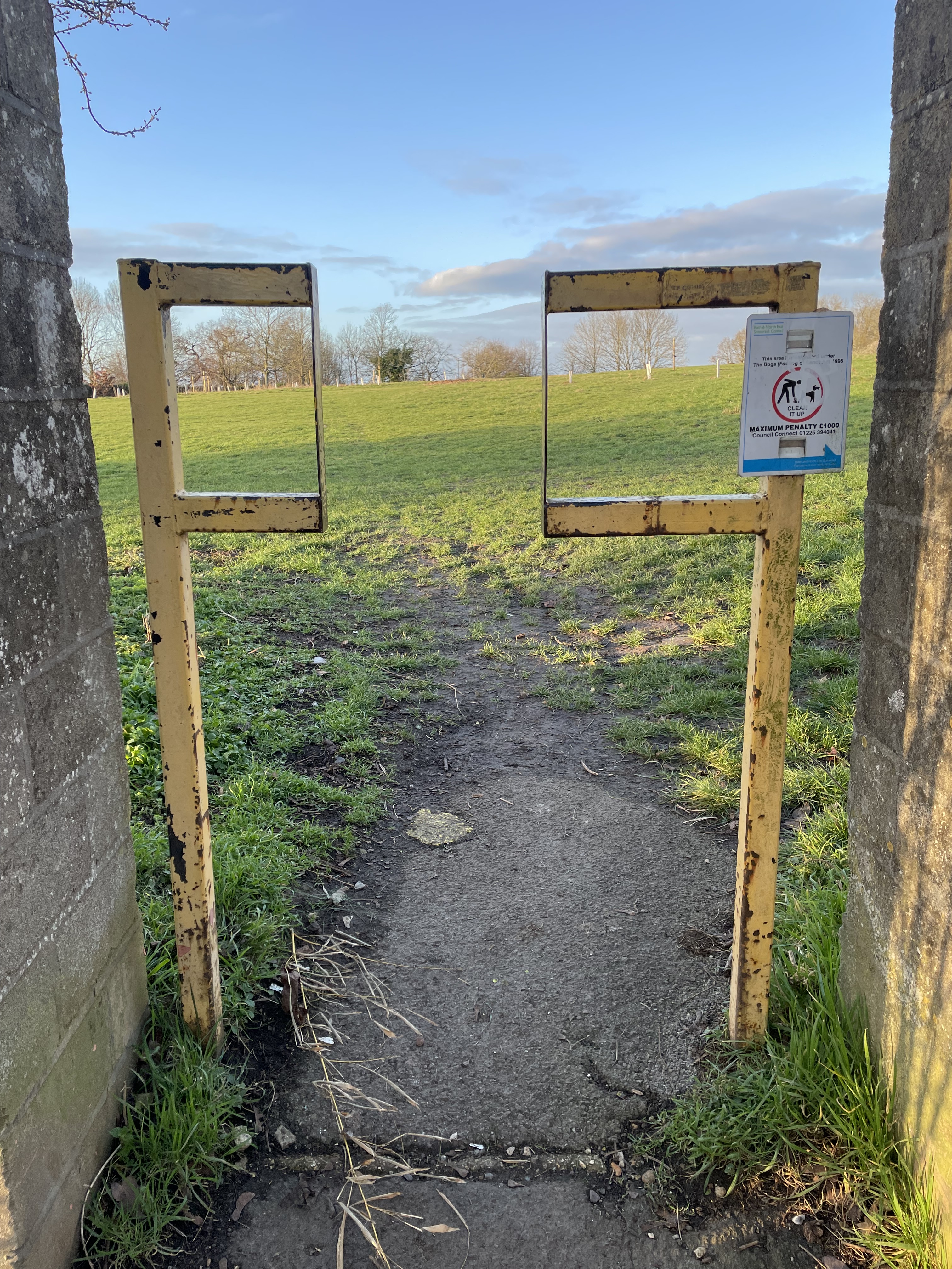
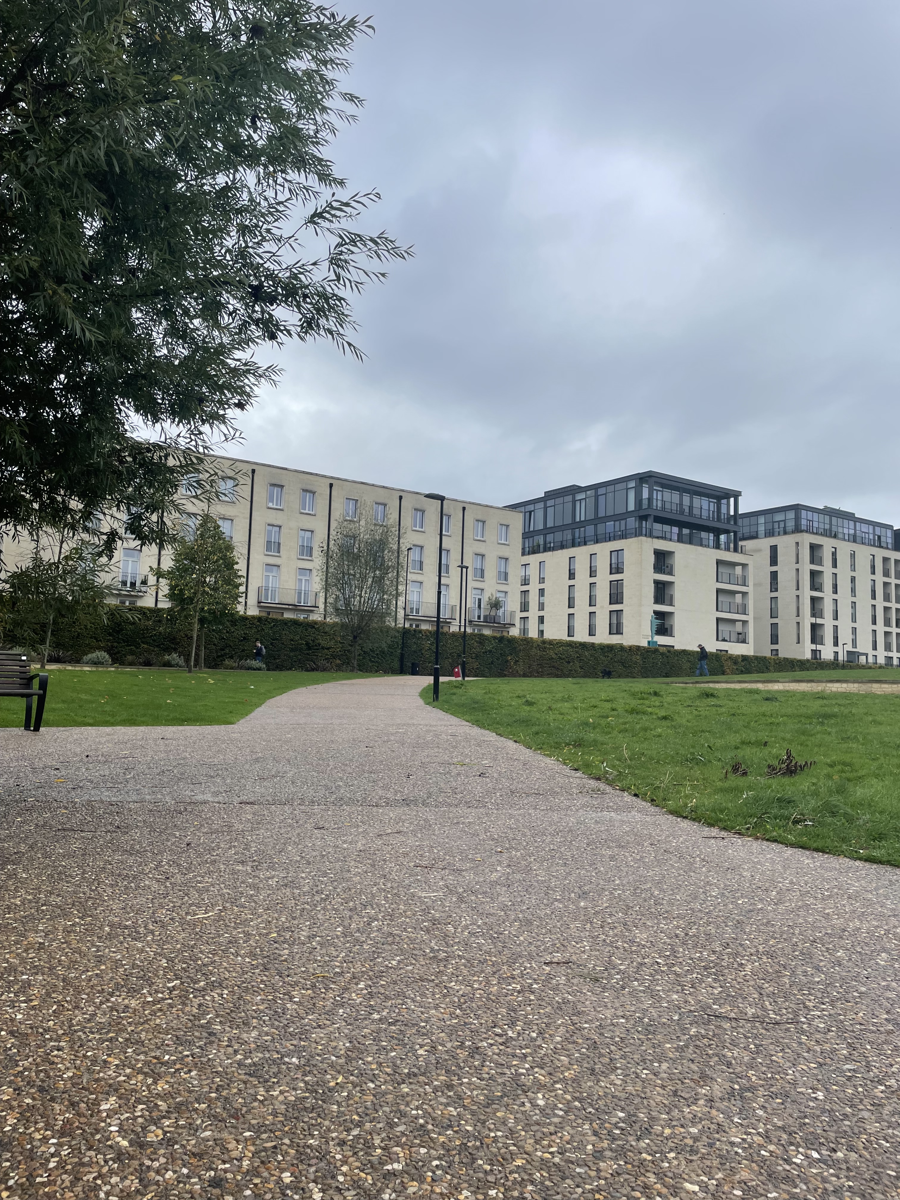
Ironically, one of the best places to see accessible public space in Bath is Elizabeth Park in Bath Riverside, delivered by a private developer. No access barriers, smooth wide sealed paths that drain properly and can survive winter. Heaven.
Overall, the story of this part of BWWCL is crack on with the LN programme, invest in the connections between them, and before we know it we will have a decent active travel network which will make a profound contribution to delivering council policies in the round.
Weston to Bath city centre
You cannot provide safe cycling infrastructure with pots of paint alone.
And because painted cycle lanes on roads (aka cycle gutters) and painted boxes at traffic lights don’t make people feel safer (the emerging opinion is they actually increase risk to people cycling) they make no meaningful contribution to growing the number of people cycling.
Which is all a bit of a problem, as this section of BWWCL draws rather heavily on this 1990s approach to road design. Stick in a cycle gutter – job done. Hum.
Chris Boardman, former Olympian cyclist and now ‘main man’ at Active Travel England (who police active travel spending amongst other things) has made his views pretty clear on advisory lanes. I will let him speak for himself:
Advisory cycle lanes are frankly crap because they encourage people cycling to position themselves right by the kerb on narrow roads where they should be riding in the middle of the lane. This is how Bikeability teach cycling, and is reinforced by the Highways Code (aka. the law) which states an overtaking driver needs to give 1.5m passing distance. In Bath that generally means passing on the other side of the road, as if overtaking another motor vehicle.
And this is all assuming the cycle gutter is actually clear of obstacles. People can’t even respect the mandatory cycle lanes on the Upper Bristol Road which have a solid white line and are clearly marked with wands, let alone a ‘suggested’ cycle lane. And that includes council drivers…


Put it this way. If you wouldn’t want a child to be walking to school in it, why on would you want them cycling in it?


So advisory lanes: more likely to kill people and don’t grow participation in cycling in any meaningful way. Great start!
Elsewhere in the Weston to City Centre proposals, we find a massive lack of ambition. And people can say “well, it is all a bit expensive to deliver safe infrastructure” in which case, why choose such expensive options like altering traffic signals (Queen Sq) and long contraflow cycle lanes (RVP), when a row of bollards can do essentially the same job for £10,000 vice £1m?
We can see this in practice at Royal Avenue. In the past this was closed to through traffic- the bollards (which amounted to metal square section posts) were at the Marlborough Building gates and the scars where they were cut off at some point can still be clearly seen. The BWWCL shuns such wildly cheap options- now we have to prove why motor vehicles should be removed. If not, the assumption is they must stay.
Yet of course, when we want to pile Welsh shoppers through the Christmas Market for 3 weeks (and I have nothing against either party- I like both in fact!) suddenly it is totally possible to close Royal Avenue to through motor traffic and whip up proper lighting. What about people who live in Bath and want to safely use this route for the other 49 weeks of the year?
And whilst we are speaking of Royal Avenue, I was a bit sad not to see the most ridiculous sign of 2023 wheeled out again. Will have to find a new candidate for ‘sign pointing out the flipping obvious’ in 2024 (award sponsored by the Bears in the Woods).

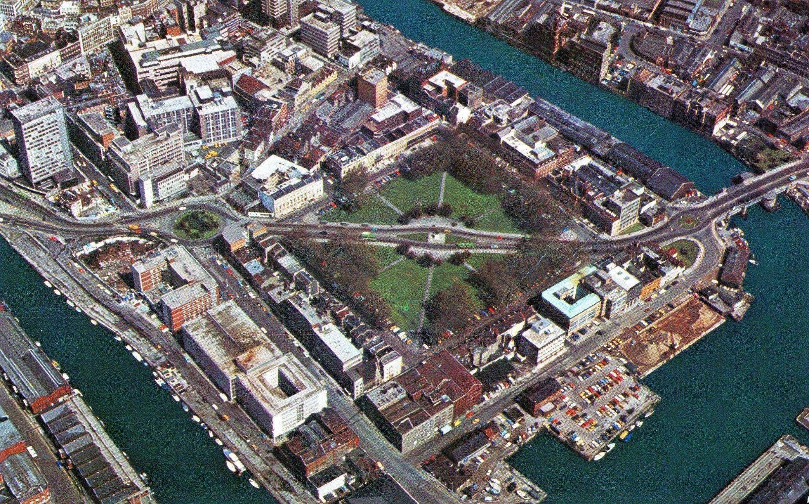
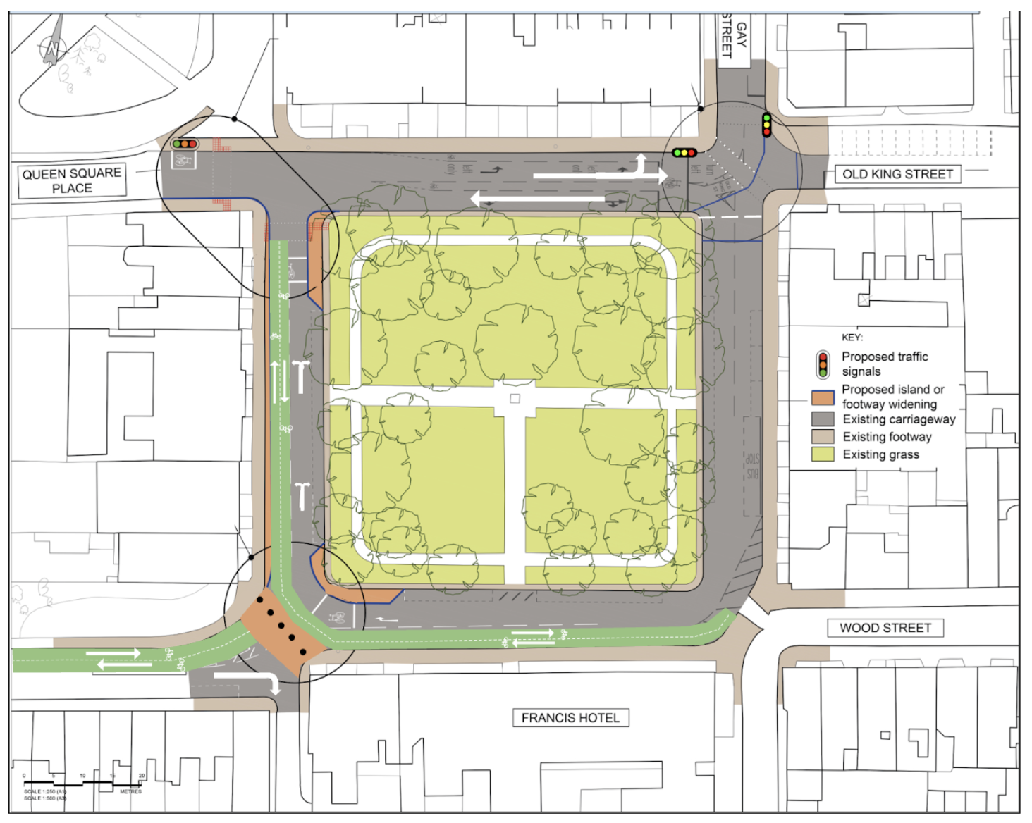
However, nowhere is the lack of ambition more stark than at Queen Square. This glorified roundabout (‘square-about’?) was once considered one of the finest Georgian squares in England. Now accessing the green space is a case of dashing across the road for those who can, and for people in wheelchairs- you can pretty much forget getting over there. And to be frank, why bother when the reward is sitting on a bench surrounded by noise and fumes?
It is unfair to lay this all at the doors of BWWCL- but they have arrived at an eye-wateringly expensive way of making cycling through the space just a bit less awful. What about everyone else? Where is the strategy for this space for all ages and abilities? We only have to look at the Circus and how that space is now gloriously reborn. First the tourist buses removed. Now the bulk of motor vehicles. It is a model for how Queen Square could be.
Sounds too radical? What about if a A-Road ran through the middle and I was saying “we need to chop it out and return this space to people outside cars. The drivers can take the longer route”. Not a great leap of the imagination really- it is exactly what happened in Queen Square Bristol:

There are various permutations of what this might look like in Bath, but here is WRB’s take. Get rid of most traffic signals (expensive to install and maintain) and whack in some exceptionally cheap bollards. Yes, there would be some landscaping to do, but we can’t just wait for the money to do it all in one go. Brussels and Paris have shown this. Whack in the filters, worry about perfecting the streetscape later on. Reclaiming space from a relatively small number of drivers is 80% of the job done.
The last worrying lack of ambition comes around personal safety. The BWWCL envisages people travelling through Royal Victoria Park after dark with negligible lighting and few other people around. It is currently dark by 4.30pm, so before the end of work for many or the end of after school activities. Is providing an unlit and in places secluded route with few ‘escape routes’ the best we can do, especially for girls and women? Is this an yet another example of sexist transport design continuing to pervade decision making? If you have time, this is an interesting article on the matter. If you have a bit more time, ask for Caroline Cried Perez’s book ‘Invisible Women’ for Christmas.

The overall feeling is just ‘blaaaa’ for most of Weston to town. Our suspicion is Active Travel England will oppose most of it, in which case the whole thing has been a waste of time for everyone.
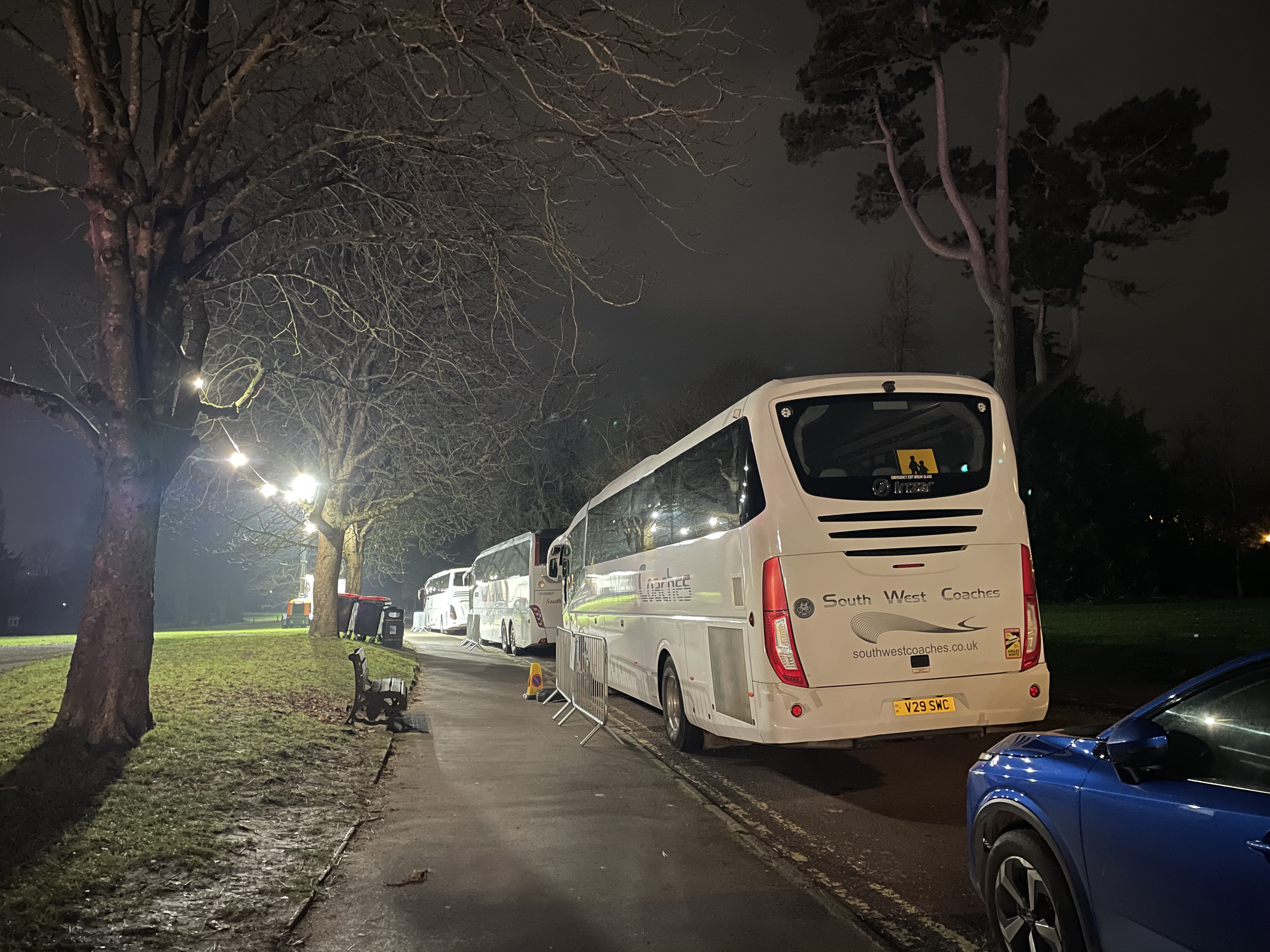
It is worth noting something regarding context. Part of the issue is the sheer volume of motor traffic in North West Bath, and a lot is linked to the RUH. Roads are not inherently dangerous- drivers of motor vehicles are. THE RUH HAS NO PLAN TO REDUCE VEHICLE NUMBERS GOING TO AND FROM THEIR SITE (600+ space staff car park below, 1,000+ staff spaces across the site). In fact, they are quietly consolidating additional parking capacity around the former Manor House. Yes, they play lip service to reducing emissions- but that is not the same thing as reducing vehicle movements overall. And whilst the RUH remains a huge generator of road danger and indeed delay to the bus services in the area, it makes the context very challenging for the council… although they are not helping themselves by continuing to provide hundreds of free parking spaces on public roads around the RUH site (not on the wealthy roads though- they have insisted on residents parking. But they have driveways, so no biggie).

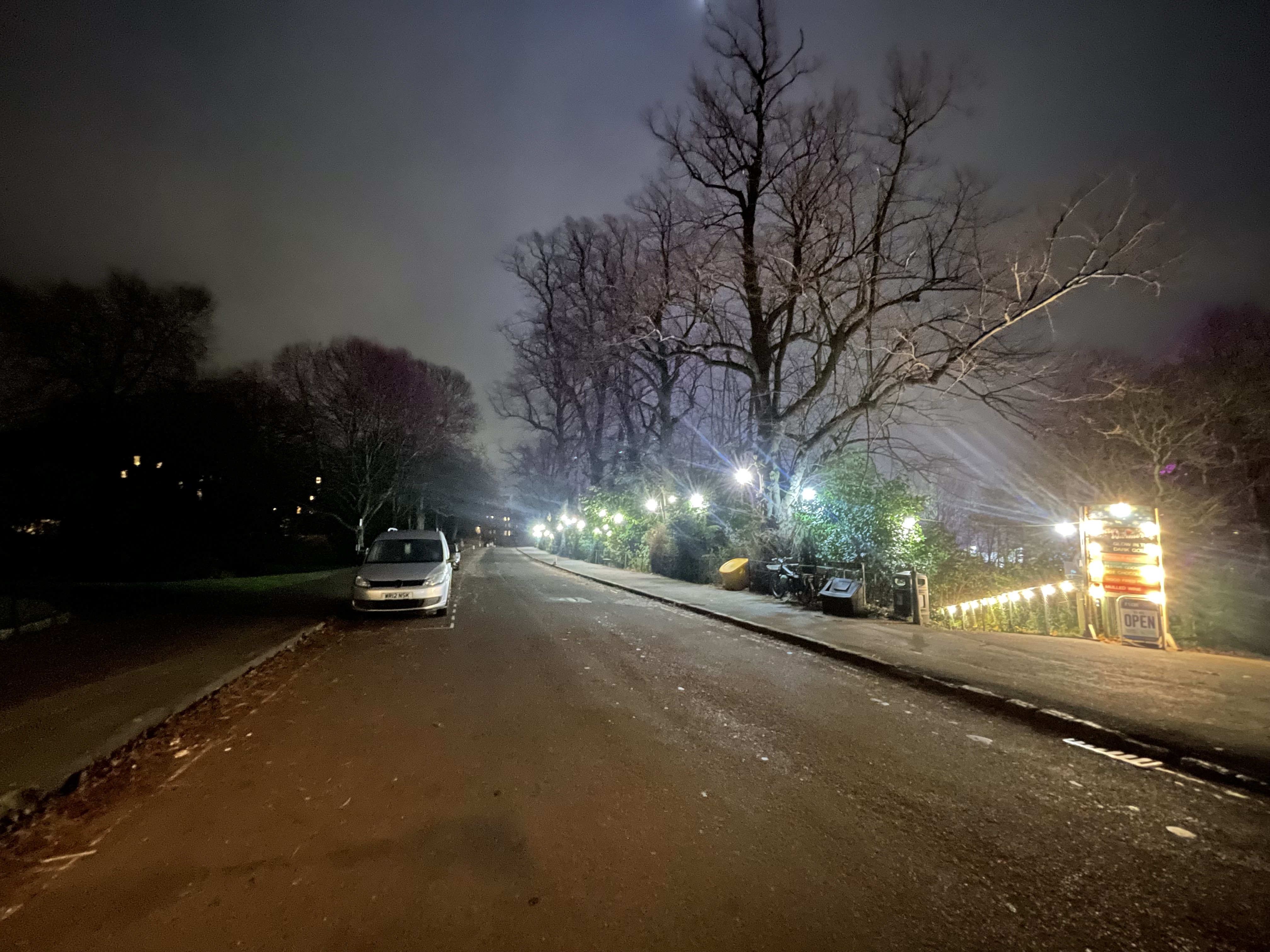
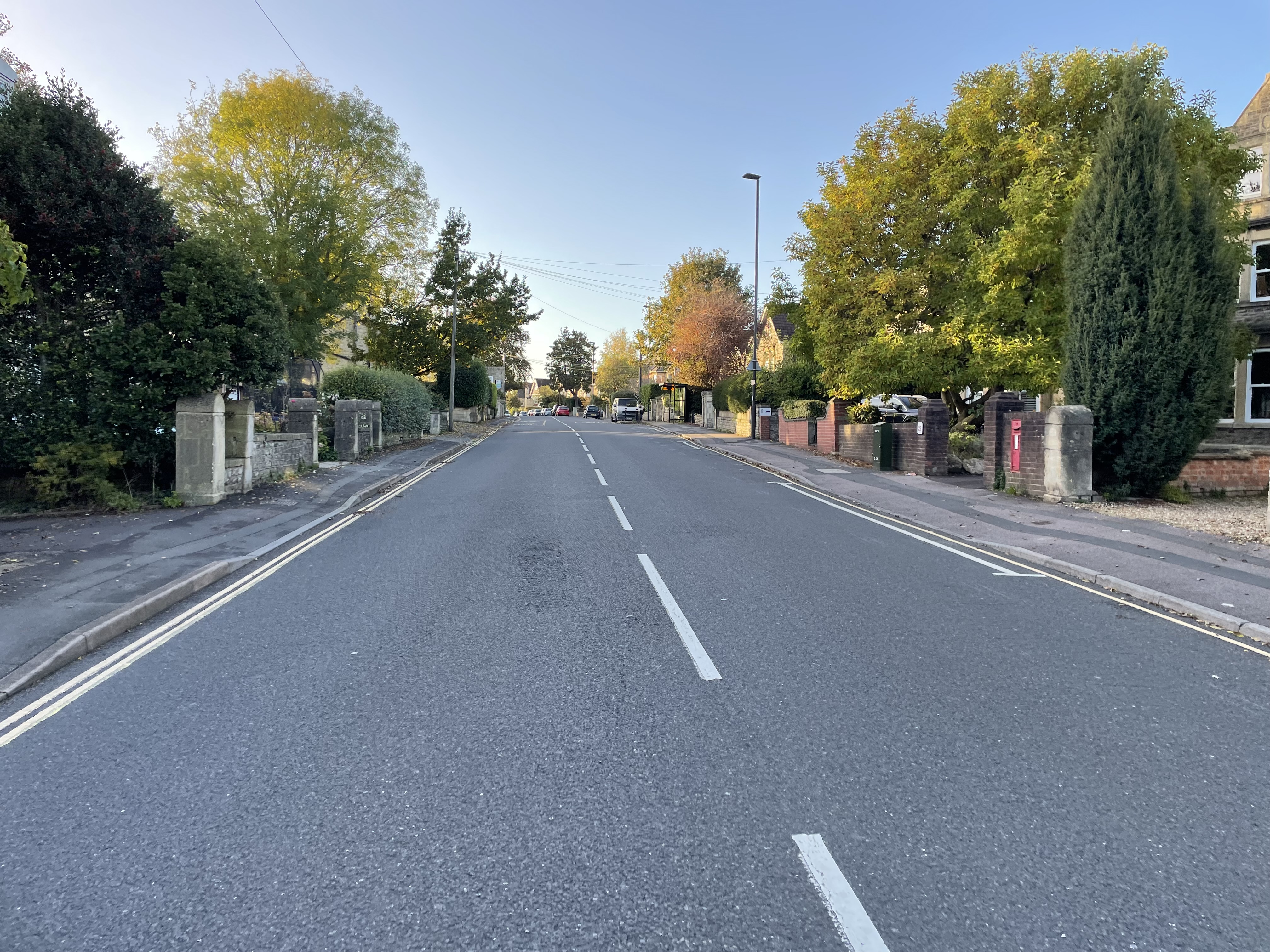
A final comment on this section- there is reference to a ‘Quiet Route’ via Weston Park… well as someone who cycles that route frequently, there is nothing calm about some of the driving along there. End of the day, any road open to rat-running (and the layout of Weston High Street actively channels drivers this way) will get the type of driver who has zero respect for other people. If only I had a pic from Weston Park to demonstrate that type of driving… oh, hang on…
Fieldings Bridge to Oldfield School via Kelston Road (and RUH entrance on Evelyn Road)
Well, so far, so ‘grumpy cyclist who doesn’t like cycle proposals’. Plenty of fodder for the score of furious people who dominate all local social media to selectively edit and quote! Are the Free Bath Streets still a ‘together’ movement?
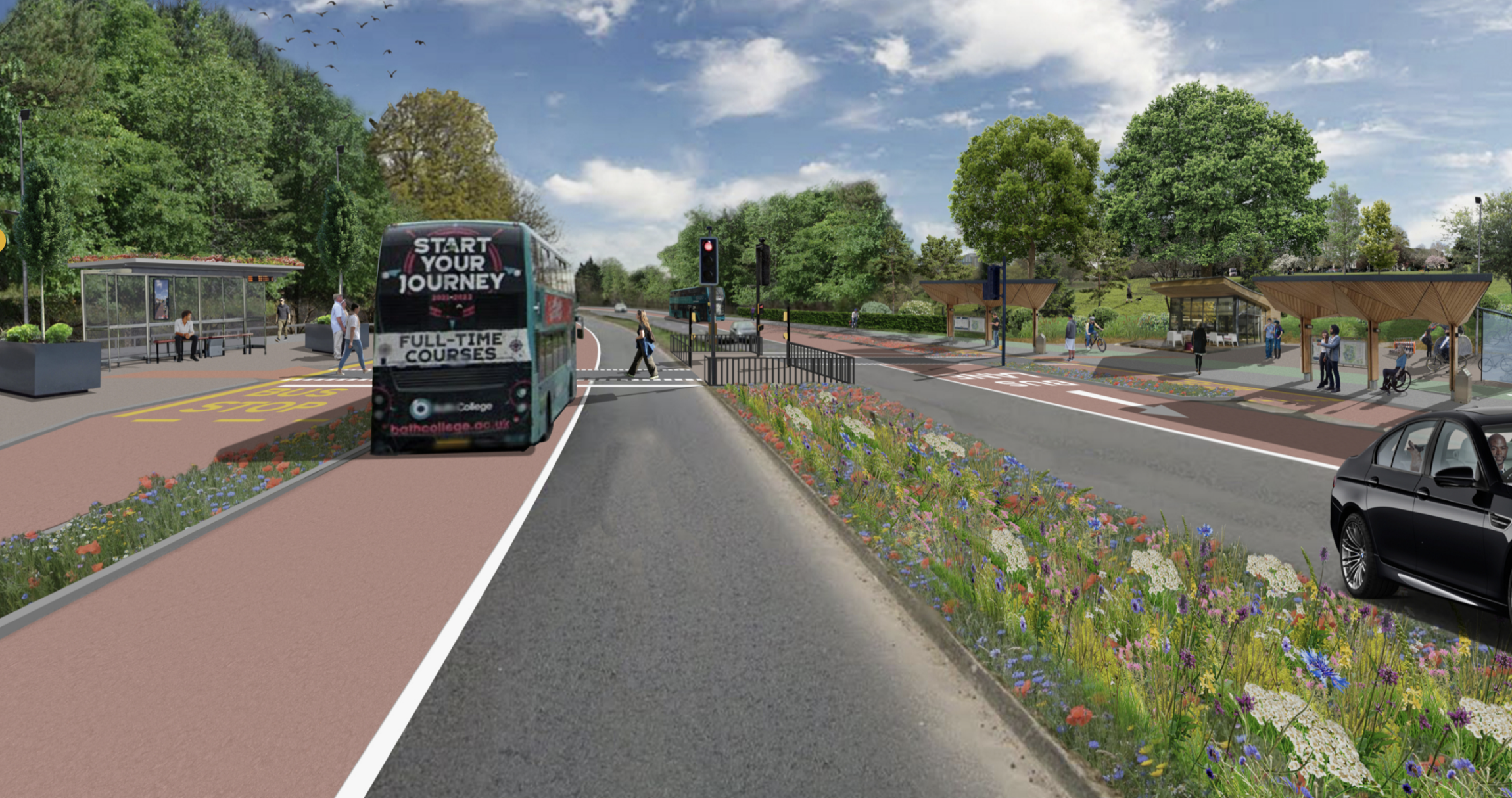
But hang on- we haven’t looked at the best bit! Fieldings Bridge (Lidl) to Oldfield School does have the potential to be really good. A proper bit of investment that provides a safe environment and magically gets people out of cars! So safe the visualised cyclist below is on the right hand side of the lane cheerily greeting pedestrians!

Segregated cycle lanes, continuous footways at side roads, removal of free on street car storage in favour of affordable transport options for everyone. What is there not to like! The devil will be in the detail of course. For instance, the current Highways team just can’t quite bring themselves to do a proper continuous footway that is actually level with the footway (aka pavement) either side. Recent attempts still require the footway to ‘kneel’ to the motor vehicle driver, even if only slightly (see Upper Bristol Road).
It is like a physical manifestation of conventional thinking- we must always kneel at the alter of the motor vehicle driver! They always get priority. Even if only one vehicle per day went in and out, the footway must still bow down to the motor vehicle. It is so ingrained, I am not sure many people even notice. Until they go to the Netherlands and see the exact opposite.
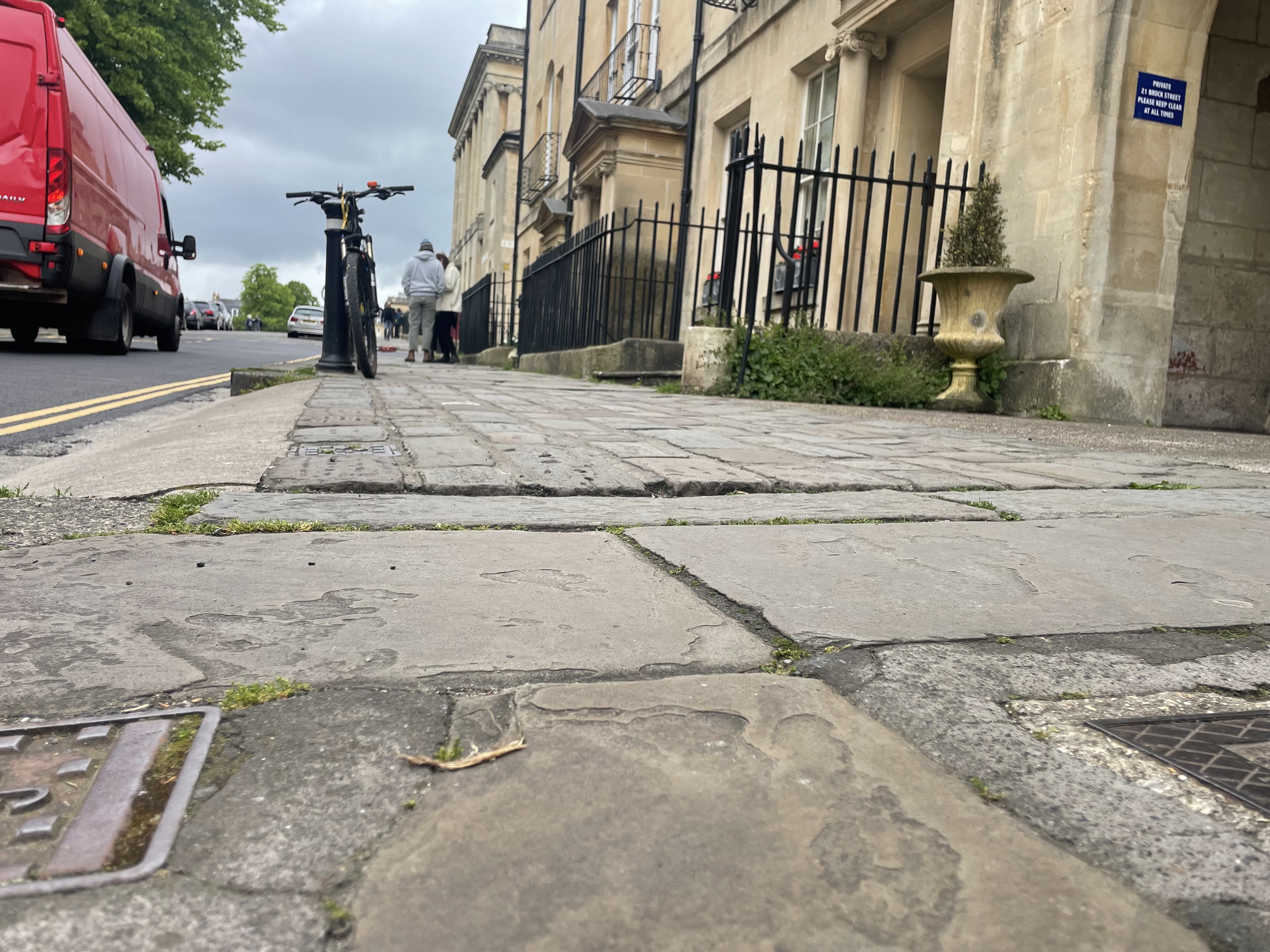
Or, if you have’t got the time to go to land of windmills, just go to er… Brock Street!

Or the Paragon…

But not Weston High Street, relaid in 2024 with a ‘rollercoaster’ footway. Sigh…


If we can’t even manage a continuous level on the footway in normal circumstance, I am not convinced we will do better at side roads. Look forward to being proven wrong. Three words: Dutch Entry Kerbs (see below). Come on Highways team, time to open up to new ideas… that we have already essentially done in Bath anyway (see Brock St)!

This might seem like a bit of a spiel about nothing- but actually it is fundamental to where we are in active travel in Bath in 2024. Time and time again, we are having to trade off different road users, and it is all too easy to unthinking accept the car driver as king/queen/non binary monarch.
Too easy to say “there isn’t space!”, whilst assuming there HAS to be a lane each way for vehicle drivers.
Too easy to prioritise the motor vehicle flow at a crossroads/sideroads/crossovers rather than the clear desire line for people to walk, wheel and cycle.
Too easy to accept the free storage of motor vehicle on the highway when our own infrastructure plan (LCWIP) calls for them to go.
The first situation is what we find at the top of Old Newbridge Hill where a break in an otherwise continuous cycle lane is bizarrely considered ‘good enough’. The road is just too constrained for two vehicle driver lanes and anything else. But BWWCL is about providing for ‘else’. The road doesn’t even work for vehicle drivers as it is- the left turn out of Old Newbridge Hill is frankly ridiculous. A similar turn in Twerton is banned. Yet the idea of simply telling drivers they have to take a new route doesn’t appear to be palatable.


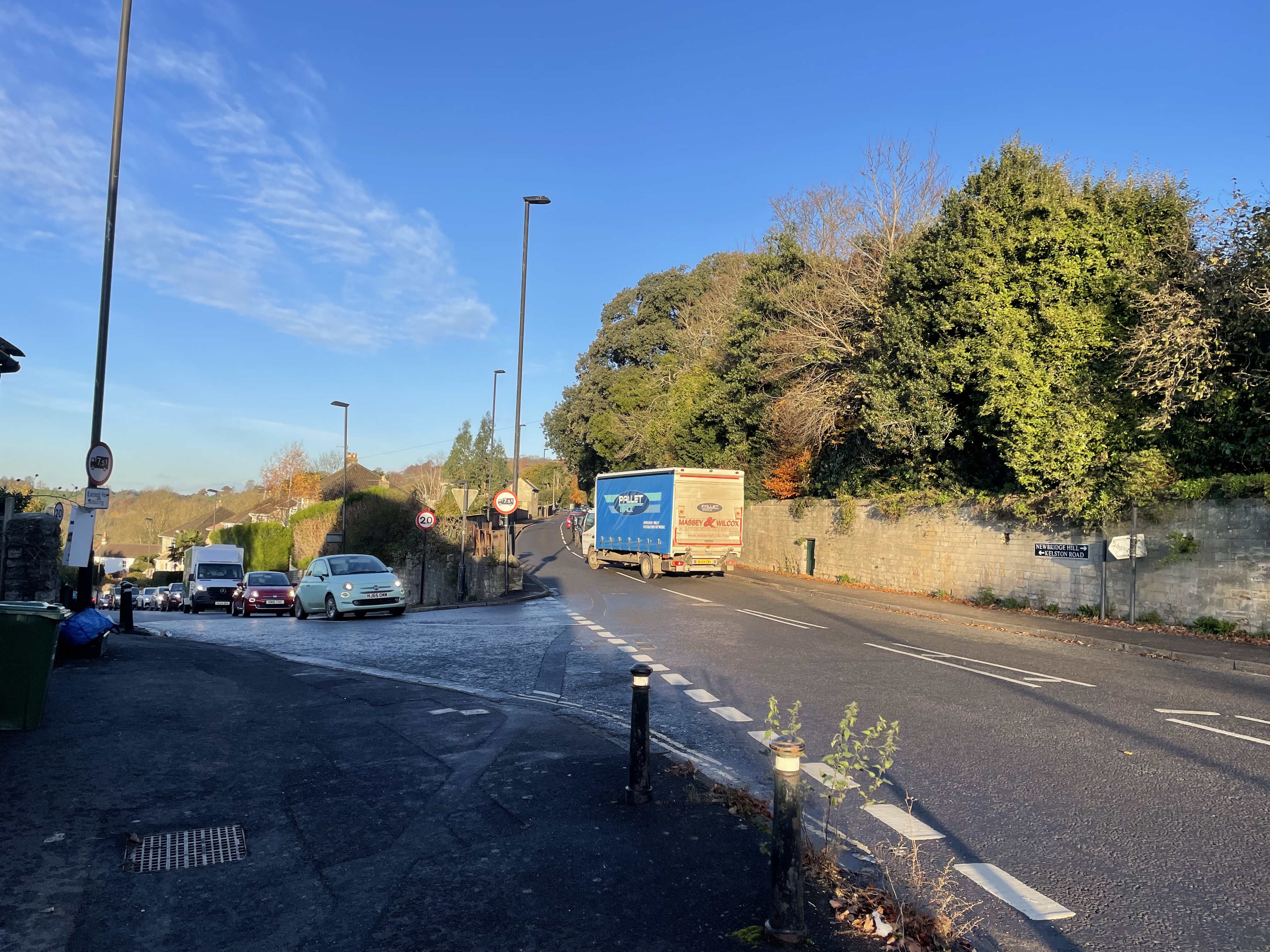
It seems likely shuttle working by traffic lights (think temporary lights at roadworks where the vehicle driver flows take it in turns) is part of the solution here. Perhaps combined with a ‘downhill only’ filter at the top of Old Newbridge Hill and thus northbound through drivers taking a different route (ideally only via main roads not other residential streets… even now it seems unfair how ONH has to take all the north-south traffic).
The second situation in which flows we prioritise is typified by the junction of the Chelsea Road/A4/Station Road, but the junction of Royal Avenue and Marlborough Buildings (between the two ‘bits’ of Royal Victoria Park) is similar. At Chelsea Road we have a High Street severed by a wall of traffic on the A4. There is a massive desire for people walking, wheeling and cycling to go on the north-south axis, but the vehicle drivers get to totally dominate the space. It is even a criminally fast 30mph, totally inappropriate in the context of ‘Vision Zero’ that councillors unanimously supported.

The current situation for pedestrians is a large detour to a crossing, and a long wait for the green phase (up to a minute? It feels long). For people cycling, especially up hill, it is just a nightmare junction. Throw in the aggressive rat runners on Chelsea Road who bring nothing to the high street other than noise, danger and obnoxious behaviour, and it is a right mess. BWWCL just leaves a question mark on the junction. Are we going to see something bold that genuinely rebalances the space to at least give ‘non-drivers’ a fair accommodation? Or will we be cowed by First Group into doing nothing in case it delays their services (even though multi million spend is being planned to ease their progress eg. on a downhill bus lane on Newbridge Hill)?

I know we can’t expect BWWCL to solve everything… but with £5million quid one hopes to see something big and meaningful that enables people to do things they couldn’t safely do before. Give access to safe, affordable and healthy means of transport. And in places some things WILL have to give. That might mean challenging the hegemony of drivers and just saying, “yes you will queue more. Yes, your journey will be slightly longer”
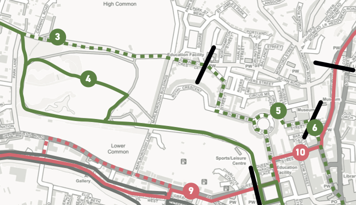
The final situation I mention above is when we just breezily ignore our own plans, one such being the Local Cycling and Walking Infrastructure Plan (LCWIP) that envisaged a 2 way cycle lane along Weston Road below the golf course (marked ‘3’ in image below). There is currently space here for people to store their cars for free, taking up approximately 2.5m of width (some of the vehicles are there for so long they are covered in leaves for weeks on end at this time of year). To gauge the width, the pic below shows a SsangYong Musso ‘Saracen’ (one of the most revolting vehicles on the road today) which comes in at a bloated 1950cm across the wing mirrors- all that 2m. People leave at least 0.5m passing distance (avoiding damaging their vehicle being most drivers number one concern) if not more like 1m. Pics below…

Yet apparently there ISN’T room for a 2-way cycle lane that would take up approximately 3m of width. Not being able to find that width shows a serious lack of imagination, especially when the alternative has ended up being routing through a park that is near impossible to make safe enough during darkness for many women and children.
By contrast, this stretch of Weston Road is lit, has pedestrians at all times of days, and could connect to the Circus Area LN as well as contributing to safe east-west active travel in Bath overall. A simple footway upgrade could connect Upper Church St to Royal Avenue. I just really hope the team look again at the value of this route.
Penn Hill Road
The eagle eyed may have noticed I have ‘missed a bit’ on Penn Hill Road. It is so dire that there is little polite to say. Apparently painted cycle lanes are just fine. On a road where I have seen the aftermath of a traffic island being demolished by an SUV, taking out the central lighting column like a skittle. The same traffic island used by hundreds of children every school day- all potential skittles. Forgive me for feeling we need something more than paint to focus the minds of drivers on their responsibilities to other people


Conclusion
Truth be told, in some places it the worst value bits of proposed ‘improvements’ will probably get the chop (especially once Active Travel England have taken a close look at them). Every consultation for CRSTS (City Region Sustainable Transport Settlement- the overall funding pot) so far has seen active travel investment carved out and bus investment protected.
Still, sometimes the best thing to do is nothing, rather than token gestures. The days of painted bicycles being the best we can hope for are absolutely numbered.

A final reminder of what this is all about in the end. In terms of public health and the future city our children will take on in the not too distant future, the stakes could not be higher.


Are we going to take the bold decisions? Are we going to walk the talk that is laid out in umpteen council policies?
Or is the hollowing out of the Keynsham bypass (where direct cycle lanes have apparently been cut- “no space”… ah, of course…) going to be emblematic of the whole CRSTS programme, where the only ambitious thing we ever see are the computer renderings?
If you have been inspired to pass further comment, the consultation remains open until Jan 2nd.
And a Merry Christmas one and all! High vizibility vests for presents all round, right?! 😆

Excellent summary. It’s so very depressing to see so little ambition or even understanding in our council, despite so many years of patient explanation to them, a declaration of climate emergency, and so many great examples of transformation in other places (including as you rightly point out as close to home as Queens Sq in Bristol).
I used to work as a safeguarding consultant. In that we always drum home the thought that ‘it could happen here’. Sadly, when it comes to safe transport in Bath other than in a car, after many years hoping for change I’m pretty much resigned to fearing that it could never happen here.
LikeLike