Does it feel like a long time since some actual safe infrastructure was built in Bath? Well, that is because it has been, given the Upper Bristol Road work was finished in 2022. And now yet another ‘jam tomorrow’ consultation about things that might happen in the future… it is a good thing we have the Liveable Neighbourhoods scheme which (when done properly ie. removing through traffic) is a very cheap way of delivering safe streets for all – in the present.
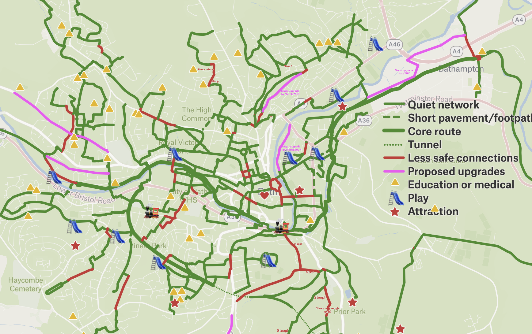
So, like a metaphorical SUV parked in a painted cycle lane, the Bath Walking Wheeling and Cycling Links (BWWCL) consultation has landed. A chance to strike a better balance between different modes of transport… provided car drivers aren’t inconvenienced at all too much. Which is a tricky brief to be honest, and in some places has given the project team a near impossible task.
The 3 main components are
- Bathwick from Pultney Bridge to the canal via Sydney Road/Place
- Queens Square to RUH via Royal Victoria Park (RVP) Weston Road / Park and 1-10 Penn Hill Road
- Fieldings Bridge (Lidl) to Oldfield School via Chelsea Road and Kelston Road
WRB will provide in-depth analysis in the coming weeks. This blog is just a zoom out to give broad brush comments. And in a true ‘sh*t sandwich’ style (bread-yucky filling-bread), let’s look at a good bit before saying anything… less supportive.
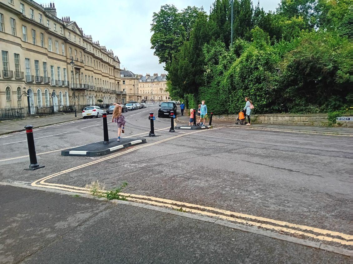
Pultney Bridge to the canal via Sydney Road
The best bit of this? We are leveraging value from the Sydney Road/Place Liveable Neighbourhood (LN). With proper connections to neighbouring LNs / Traffic free routes, these islands of safety suddenly become much greater than the sum of their parts. Before long we will have Bath City Centre cycle route linked to Pultney Estate LN linked to Sydney Road/Place LN linked to the traffic free route along the canal.
And that my friend, is a network.
It will take decades to become anything like the Netherlands for people WW&C. But we can build an adequate network to give people choices other than driving in… maybe 5 years (see linked blog post). Sometimes a single improvement such as the proposed Beckford Crossing, can be a dramatic catalyst for change. A handful of inexpensive bollards can be equally impactful.
Click here to view
But staying zoomed out, one does wonder “isn’t this the sort of stuff the Highways team should be delivering anyway?” It is all rather ‘bread and butter’- toucan crossings, shared footways, continuous footways, some road markings… do we really need a special project to make such run of the mill improvements? And do we need a consultation and full business case for such minor changes, when the process itself eats up a substantial amount of money?
BANES installed 5 zebra crossings in Bath this year, so £500,000ish of spending… but with no public consultation. Which is how one got put in a sub-optimal place… but that is another story!
Key take away: Connecting Liveable Neighbourhoods rapidly builds the active travel network
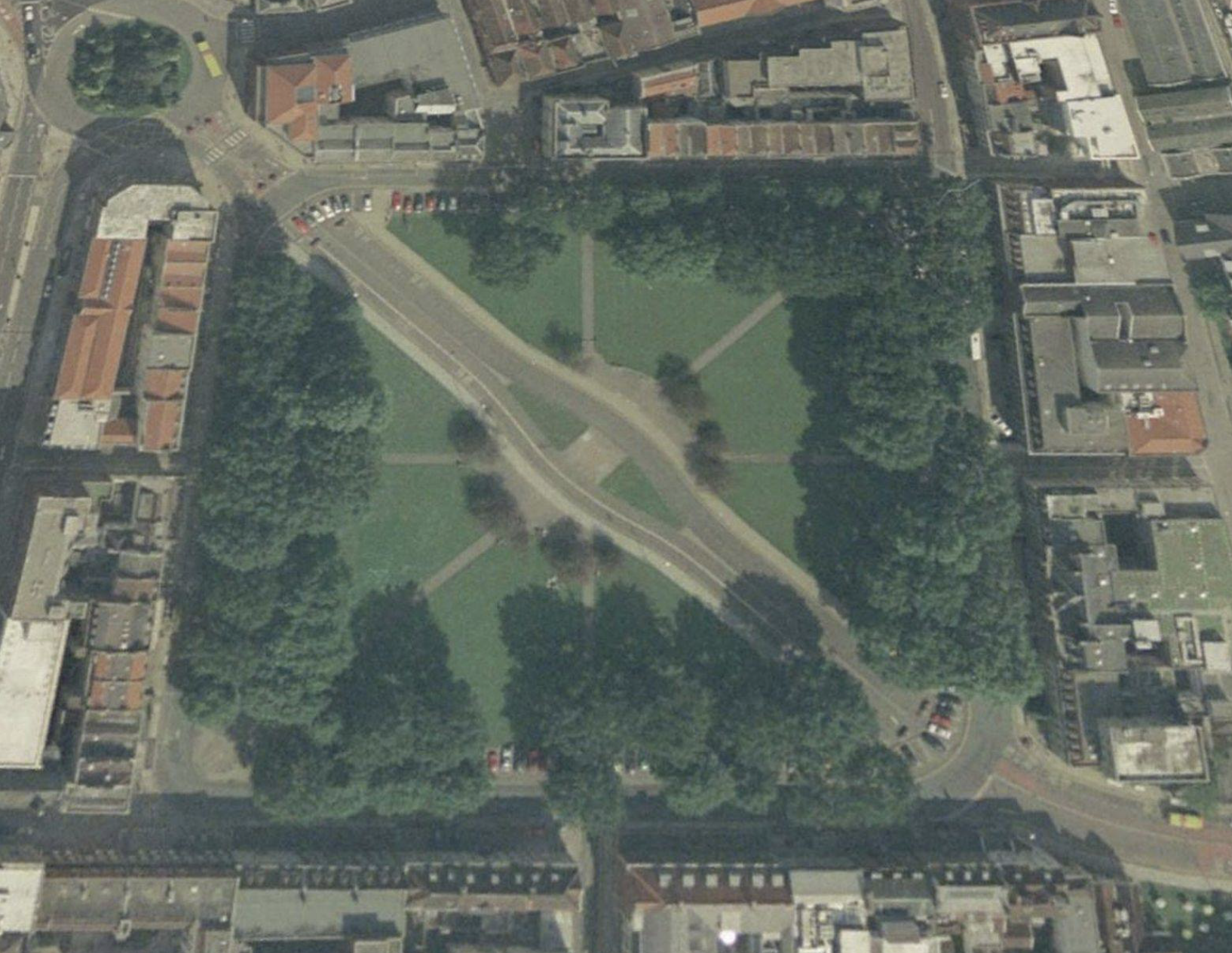
Queens Square to RUH via Weston Road and 1-10 Penn Hill Road
Now the filling to that sandwich, and oh dear… not very tasty.
So the project is about ‘Links’ right? Yet it is hard to see what is linked in this section of the scheme, as there is so little safe infrastructure. By safe, WRB means suitable for all ages and abilities and (importantly) at all times of day, including in winter when it is dark as early as 4pm, and in all weather conditions.
The proposals rely heavily on advisory cycle lanes on Weston Road, Crown Road and Penn Hill Road. It is hard to express how depressing it is to see this go out in public as a statement of ambition on cycling, because it shows none. Advisory lanes do not grow cycling because they do not improve safety. In fact, Active Travel England has recently stated they make people cycling LESS SAFE. Anyone who has cycled for any length of time in Bath will be able to give examples of where they have felt at risk from vehicles drivers whilst in an advisory lane.
So if the idea is to link Town and Weston better for walking, wheeling and cycling, the method chosen for large stretches of the route would be more likely to kill people cycling. That is a tough sell.

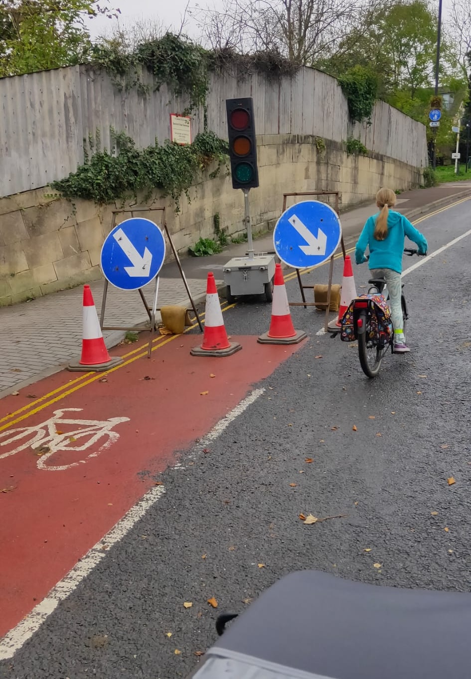

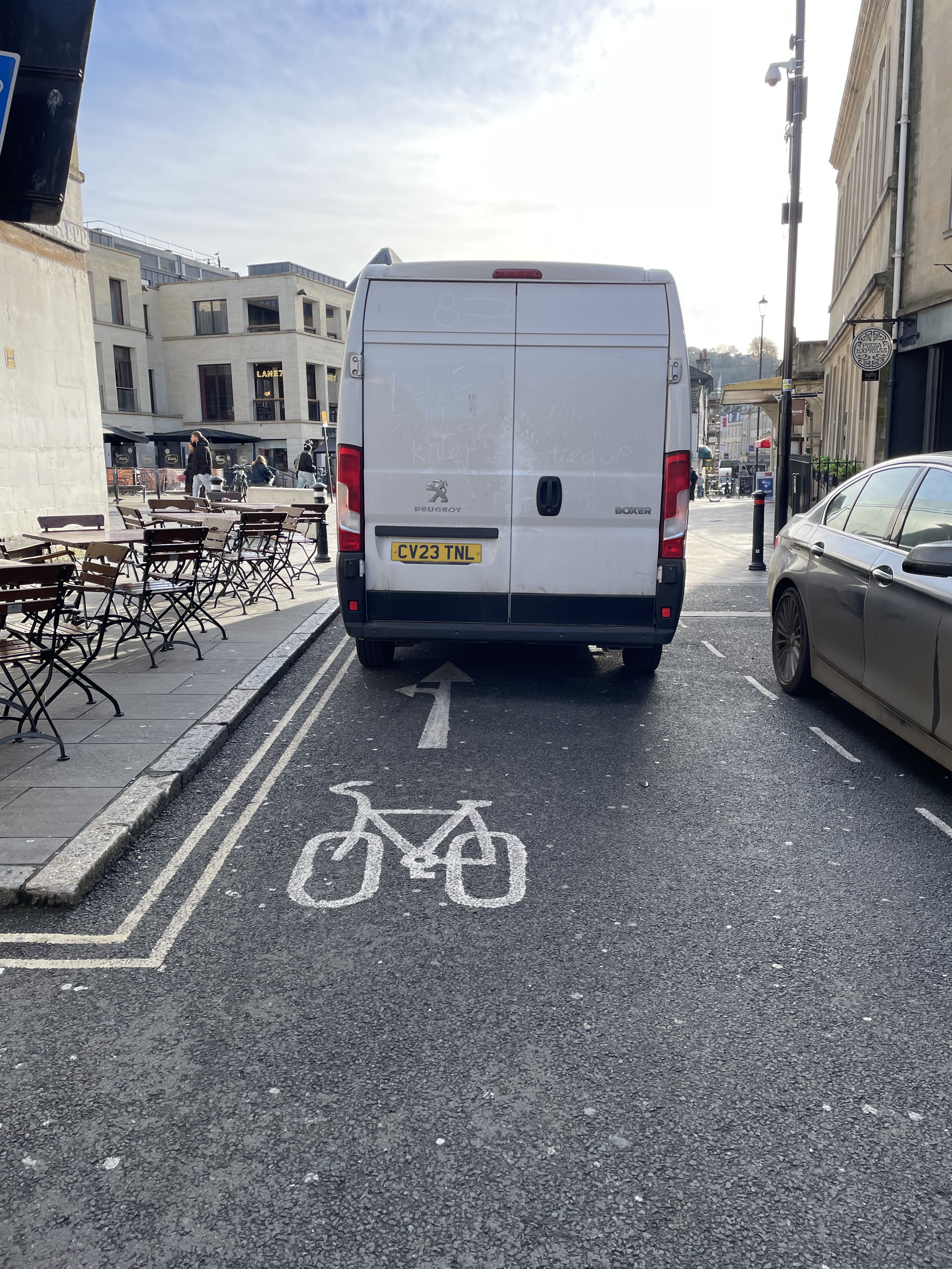
Safe infrastructure does not come in a paint pot
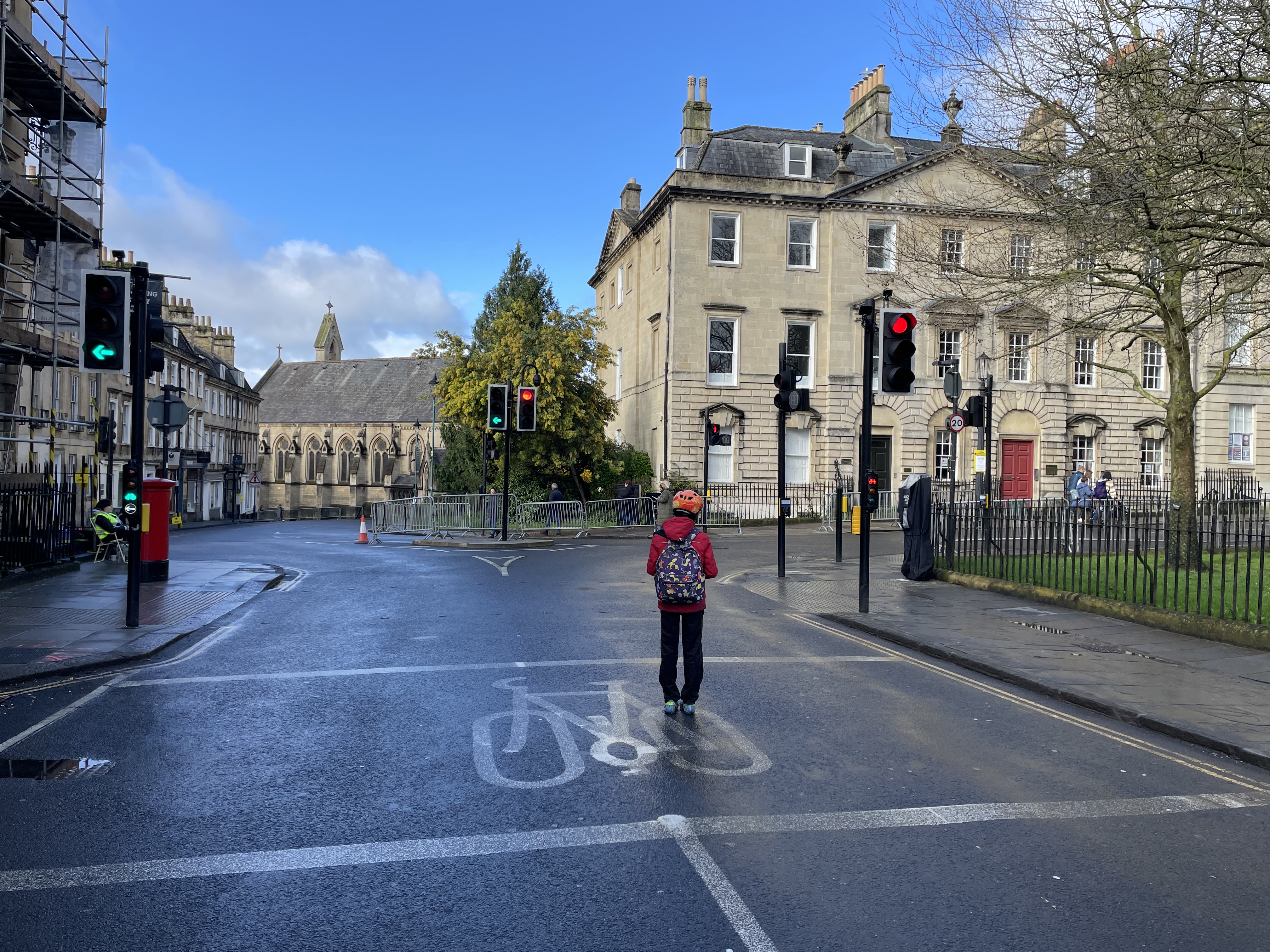
And in the sustainable transport hierarchy walking and wheeling comes above cycling. Yet there are locations in this proposal where there is no pavement at all. Others where the pavement is barely 1m wide. There are busy junctions with huge crossing distances and no proper crossing provision.
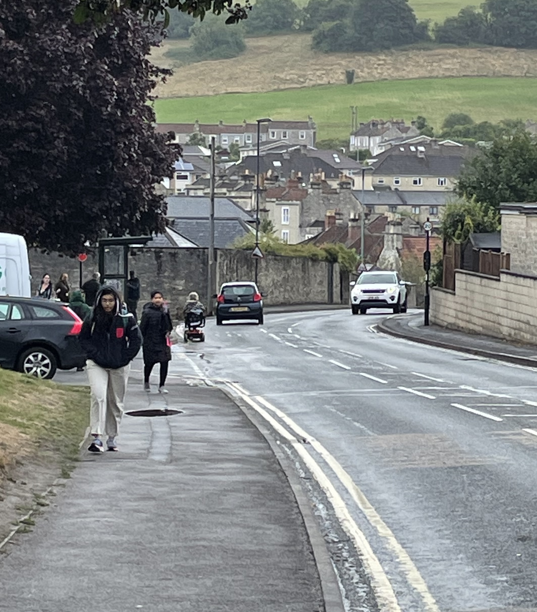
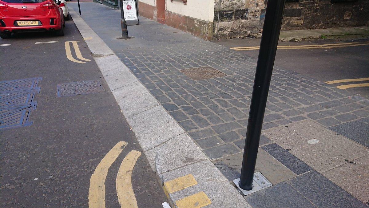
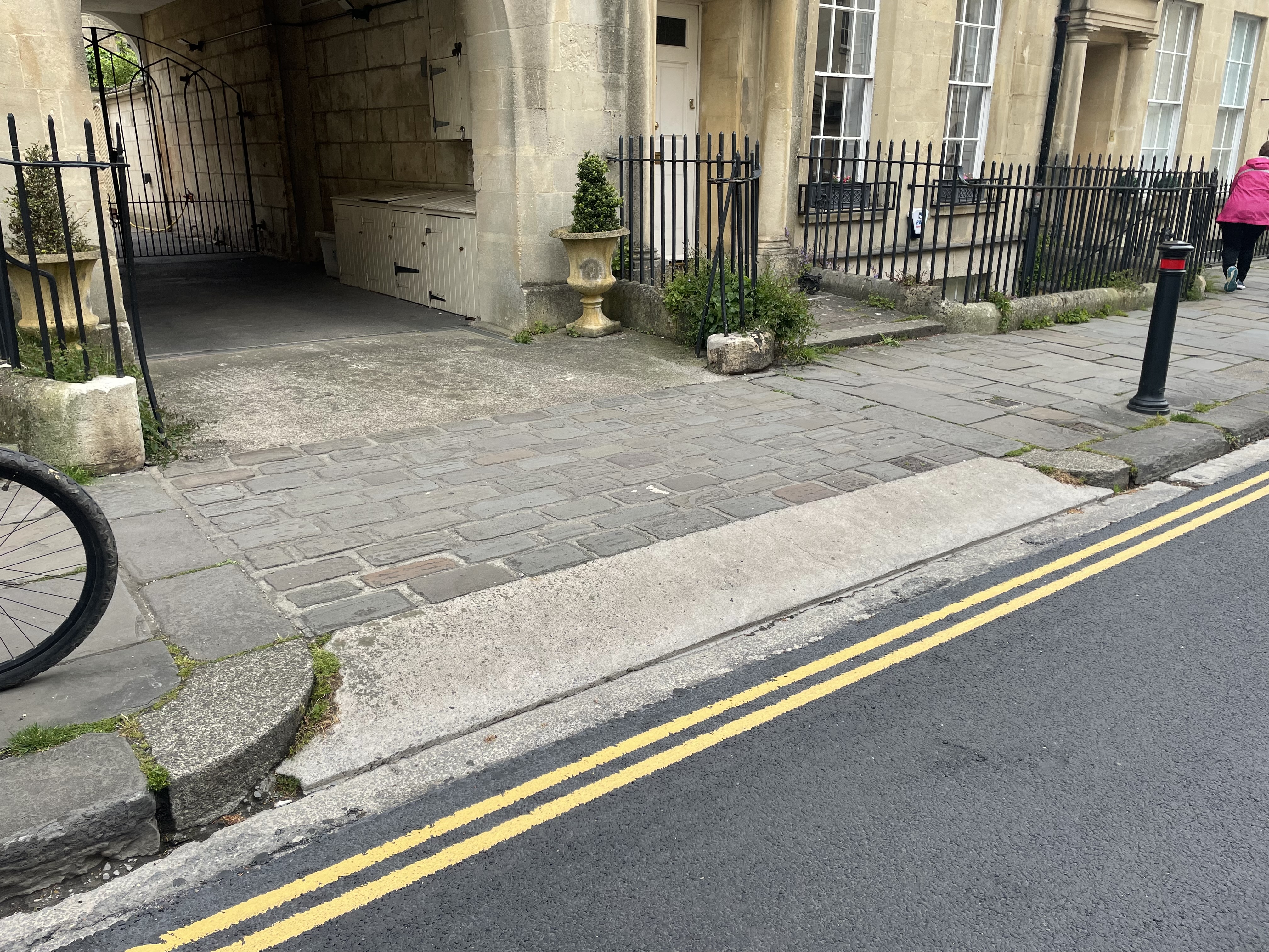
Missing drop kerbs, missing pavements, pedestrian routes into the carriage way (all in Weston)
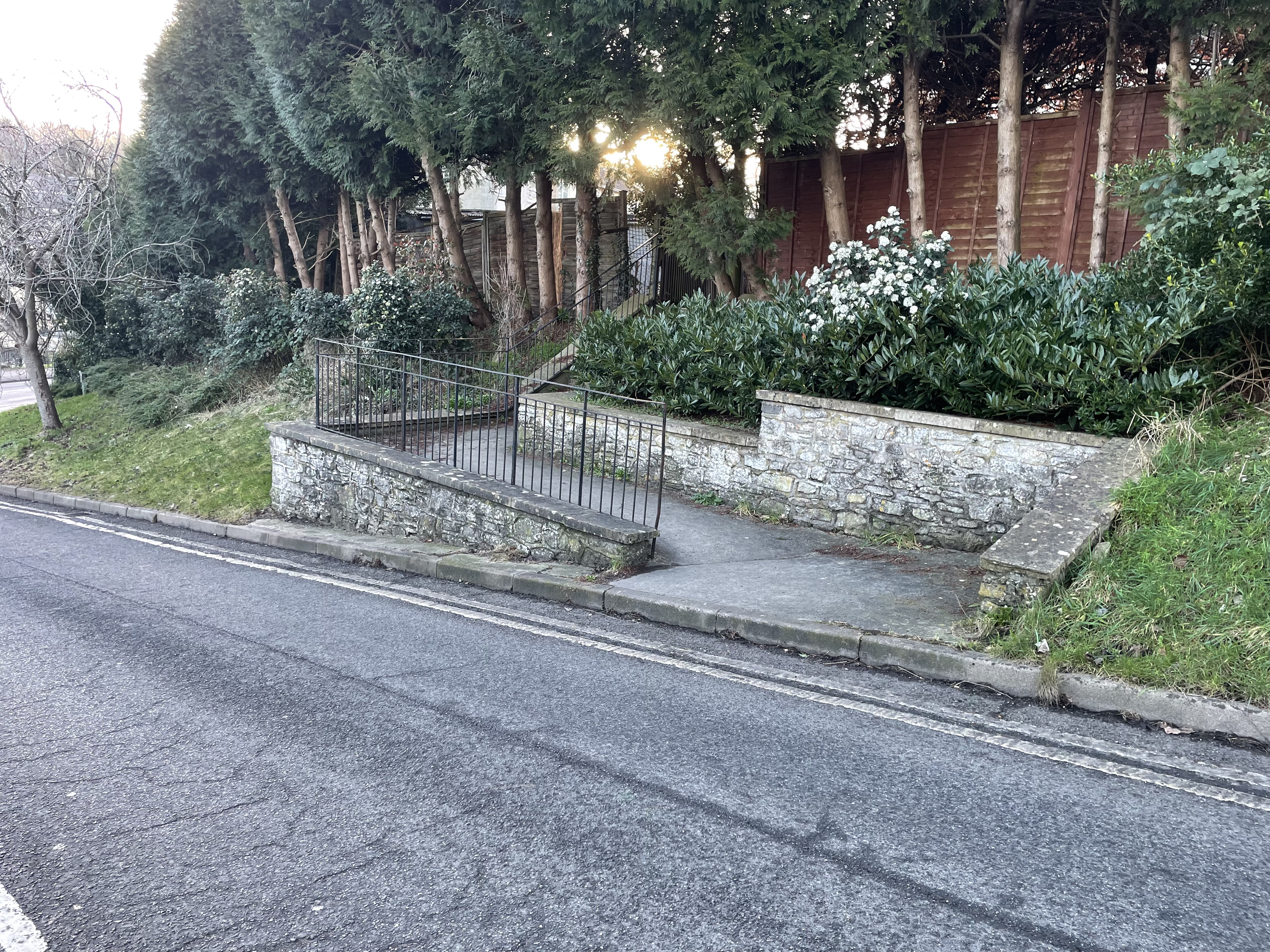
Looking at the bits in the park you might think “great- peaceful, nature, birds, trees…”. Now consider you are a 13 year old girl who went to an after school club and now wants to use the route through the park to get home- at 4.30pm in November. It is dark, isolated, not many people around, bushes for people to hide behind… again, that is a hard sell.
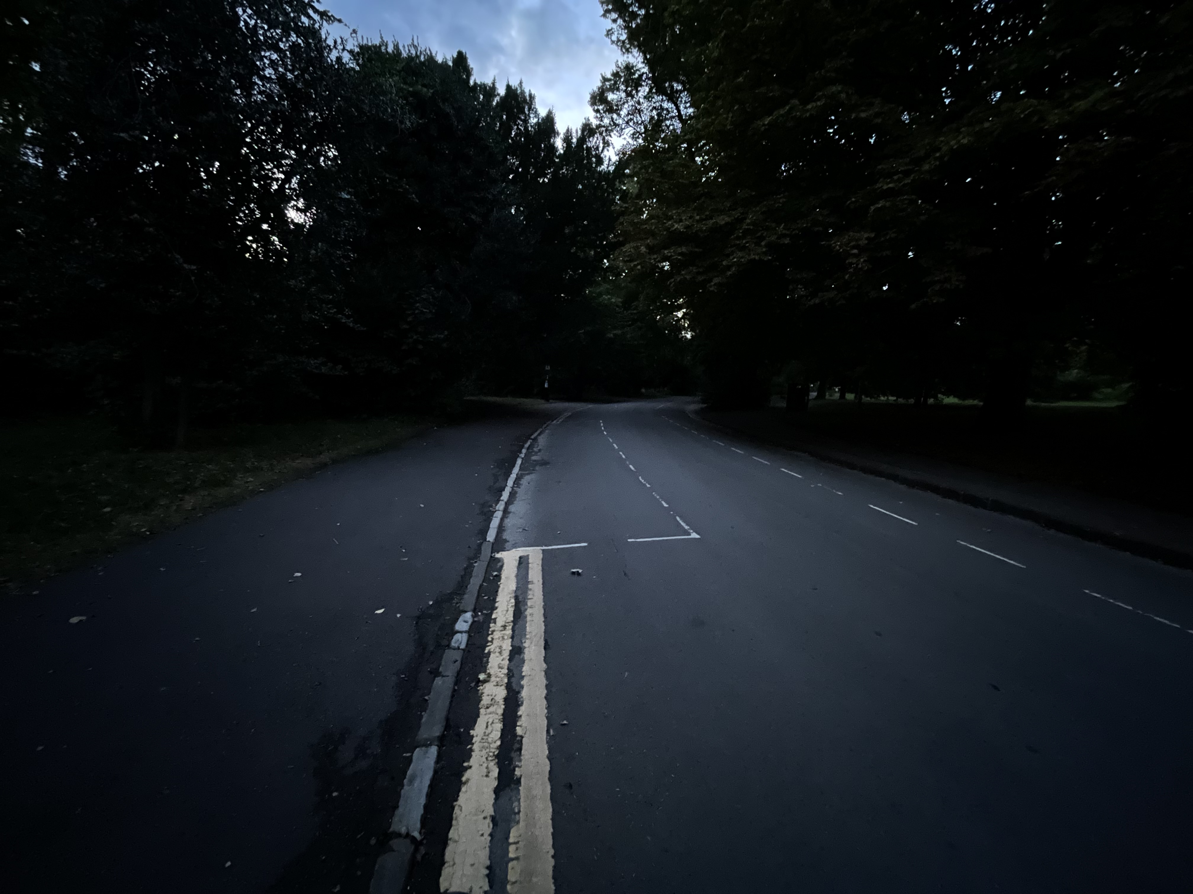
And the level of ambition for somewhere like Royal Avenue doesn’t even match that of the past. There was a time where it was free from through traffic- you can see the bollard scars in the gateway at Marlborough Buildings. Yet this proposal has nothing on reducing road danger there, even though this is an unclassified road that according to DfT is not there to serve through traffic. The best we can hope for is some better lighting.

There is so little to get excited about. One of the key bits of linking infrastructure that is missing is a contraflow cycle lane on Weston High Street at Tesco, to allow people to avoid the horrific advisory cycle lane on Crown Road. Yet that doesn’t even get a mention, which is weird as it would do some genuine linking via Trafalgar Road to all of the north of Weston. It could also connect to a parallel crossing at Joots to give access to 1-10 Penn Hill Road (essentially a traffic free street) and beyond.
I don’t want to be too down on the project team- Weston Road is an impossible situation in a way. If two lanes are dedicated to vehicles users then there will never be space for better footways and cycle lanes, and it is too busy to filter without risking snarling up Windsor Bridge and stuffing up the bus service. The RUH who generate a lot of the traffic on Weston Road have no plan to reduce the number of cars heading to site- in fact they are quietly formalising extra parking at the north of the site. And the RUH leadership have repeatedly rejected requests from staff for a contraflow cycle lane at Gate 3 (Penn Hill Road), and it would appear the BWWCL project team got the same answer. £5million of public investment in healthy travel options but RUH won’t remove 12 measly parking spaces to support it. Says a lot.
Short of a Weston Road filter that drastically reduces vehicles numbers (or maybe some kind of one-way) to make the space for wider footways and protected cycle lanes, options are limited. And all this is being done in a vacuum without the Circulation Plan- we haven’t even decided if Weston Road is ‘main road’ or not.
Key take away: Sometimes doing nothing is better (and safer) than doing something low quality
Fieldings Bridge (Lidl) to Oldfield School via Chelsea Road and Kelston Road
So far, so ‘grumpy cyclists who don’t even support cycling projects’. Well, let’s finish our ‘sandwich’ by saying the Fieldings Bridge to Oldfield School route is nearly great. So nearly.
One of the best things is this does do some proper linking, of:
- Fieldings Bridge (Lidl)
- The river path (National Cycle Network)
- Bath Spa Locksbrook Road campus (soon to be expanded)
- The future eastward extension of Bristol – Bath path
- Chelsea Road
- The RUH
- Newbridge Primary (back gate)
- Newbridge GP Surgery
- Oldfield School (sort of)
And indeed all the people who live on the route itself and routes it is connected to. A good start!
The Kelston Road section makes extensive use of safe, segregated cycle lanes (although the turning into the RUH at Evelyn Road needs some attention and it forces some people to double back). There are continuous footways at side roads- will we finally see ‘Dutch’ entry kerbs in Bath?
Left: ‘Dutch’ entry kerbs on a continuous footway, Right: Example from Bath (Brock Street)
The we get to the 175m stretch at the top of Newbridge Hill and… nothing. Given the money for this scheme comes direct from the Department for Transport (not Council Tax) is it worth quoting the Transport Secretary from last week:
“…it’s so frustrating for people to see half a cycle lane and then you’re chucked onto a dual carriageway or a very unsafe stretch of road, and we need to make sure that whatever is delivering those very perverse outcomes at a local level are properly addressed…”
This location is the same challenge for decision makers that we find repeatedly in active travel proposals: are we brave enough to take space away from vehicle drivers to make room for safe walking, wheeling and cycling infrastructure? And can we afford the expensive controls that are required solely to manage the vehicle drivers? Where traffic signals are involved, even a simple signalised crossroad can soar over £1,000,000 (even a zebra crossing is £75k upwards- controlling vehicle drivers is an eye watering cost…to tax payers).
So to get the provision all the way to Oldfield School, which would seem like a big deal, motor traffic needs to drop to a single lane at this location. This has been done before on several occasions for road works, so it does work.
There is a similar sort of tension at the Chelsea Road / A4 / Station Road Junction (by Rooted Cafe). The dominant desire line for vehicles is east-west (though plenty turn left into Chelsea Road). But people outside vehicles want to go north-south. The current crossing is an irritating detour and very slow to react. It is hard to get going when cycling uphill in the brief gaps in traffic. Can a better balance be found between different modes? Hopefully. But if there is even a hint it might delay a bus by 5 seconds, expect the bus companies to throw all their toys everywhere. Never mind the money being spent elsewhere in other projects to reduce bus delays (although they too suffer from ‘jam tomorrow’ syndrome eg. A4 corridor programme). I just point this out as it is easy to forget the number of stakeholders the council have to try and keep, if not happy, then at least not furious. And let’s not even talk about free property storage on public land aka. car parking.
Key take away: It is better to do one section of the scheme to a great standard that will deliver results, then spreading that ‘jam tomorrow’ too thin.
Conclusion
It is great to see the power of Liveable Neighbourhoods (LN) being leveraged to give people transport choices. The evidence from LNs everywhere is if you give people safe space they will feel far more confident to walk, wheel and cycle.
The Weston route just feels like too many compromises have been made. This may be partly down to realising the budget just doesn’t stretch to meaningful interventions, a situation not helped by significant inflation in recent years. There may be a few targeted interventions worth following up, such as a Weston High Street contraflow and improvements to 1-10 Penn Hill Road… but in truth, it may end up being the case it is better to do nothing and focus all energies on delivering great infrastructure elsewhere.
Which leads to the Fieldings Bridge to Oldfield School route. There are some alarming gaps that stop it delivering full value for money, notably at the top of Old Newbridge Hill. Hopefully money can be found from elsewhere to overcome this. It was disappointing enough to see the Fieldings Bridge upgrade itself cancelled in favour of other WECA programmes that themselves now appear to have stalled. Not reaching Oldfield School would be such a let down, and would probably badly hit the Benefit : Cost Ratio.
Whatever happens, spades need to be in the ground soon as councils have until May 2027 to be well into delivery of all of the recently consulted schemes- or the DfT will be coming for their money back!
Do respond to the consultation yourself (click link) by Friday 29th November. WRB will publish a detailed critique in by then including an alternative proposal for Queen Square which is cheaper, more effective and benefits for our world heritage city far beyond what BWWCL has proposed. Watch this space!
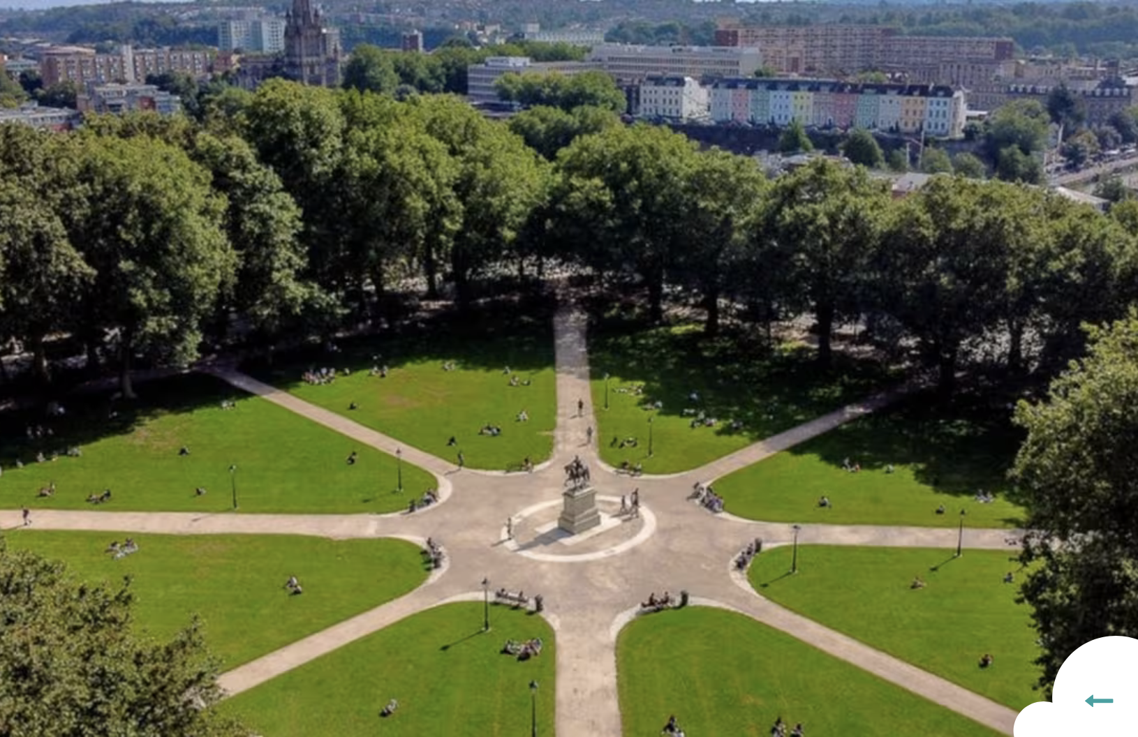
‘Ambitious’ defined in two pictures. Left, Queen Square Bristol with a dual carriageway. Right, same place today. Do you know any Squares ruined by relentless motor traffic on all sides?
